

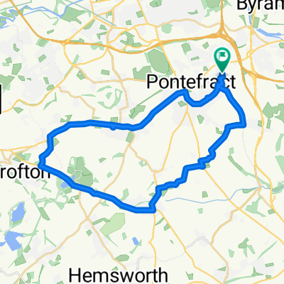
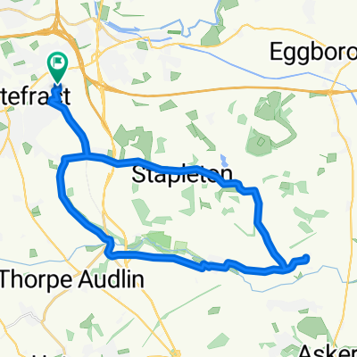
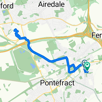
Monk Fryston, Thorpe Willoughby and Womersley - Road
A cycling route starting in Pontefract, England, United Kingdom.
Overview
About this route
Road - Brotherton, Hillam, Monk Fryston, Thorpe Willoughby, Hambleton, Birkin, Beal, Criddling Stubbs, Womersley, Darrington
- -:--
- Duration
- 60 km
- Distance
- 118 m
- Ascent
- 117 m
- Descent
- ---
- Avg. speed
- ---
- Max. altitude
Route quality
Waytypes & surfaces along the route
Waytypes
Road
33 km
(55 %)
Quiet road
20.4 km
(34 %)
Surfaces
Paved
25.2 km
(42 %)
Unpaved
0.6 km
(1 %)
Asphalt
24 km
(40 %)
Paved (undefined)
1.2 km
(2 %)
Continue with Bikemap
Use, edit, or download this cycling route
You would like to ride Monk Fryston, Thorpe Willoughby and Womersley - Road or customize it for your own trip? Here is what you can do with this Bikemap route:
Free features
- Save this route as favorite or in collections
- Copy & plan your own version of this route
- Sync your route with Garmin or Wahoo
Premium features
Free trial for 3 days, or one-time payment. More about Bikemap Premium.
- Navigate this route on iOS & Android
- Export a GPX / KML file of this route
- Create your custom printout (try it for free)
- Download this route for offline navigation
Discover more Premium features.
Get Bikemap PremiumFrom our community
Other popular routes starting in Pontefract
 Nostell clockwise
- Distance
- 28.6 km
- Ascent
- 253 m
- Descent
- 254 m
- Location
- Pontefract, England, United Kingdom
 Tester Part A for Leo
- Distance
- 11.4 km
- Ascent
- 77 m
- Descent
- 131 m
- Location
- Pontefract, England, United Kingdom
 94 Churchbalk Lane, Pontefract to 371 Barnsley Road, Wakefield
- Distance
- 14.5 km
- Ascent
- 93 m
- Descent
- 94 m
- Location
- Pontefract, England, United Kingdom
 Aberford and Lumby
- Distance
- 68.4 km
- Ascent
- 279 m
- Descent
- 275 m
- Location
- Pontefract, England, United Kingdom
 Tester Part A for Leo
- Distance
- 24.4 km
- Ascent
- 152 m
- Descent
- 150 m
- Location
- Pontefract, England, United Kingdom
 the route home
- Distance
- 9.7 km
- Ascent
- 77 m
- Descent
- 80 m
- Location
- Pontefract, England, United Kingdom
 Stubbs Walden
- Distance
- 27.8 km
- Ascent
- 211 m
- Descent
- 217 m
- Location
- Pontefract, England, United Kingdom
 junction 32
- Distance
- 11 km
- Ascent
- 121 m
- Descent
- 121 m
- Location
- Pontefract, England, United Kingdom
Open it in the app