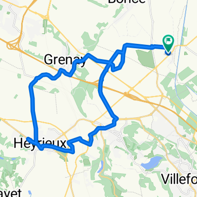
Route de Bourgoin 167, Panossas to Route de Bourgoin 259, Panossas
- 25.3 km
- 896 m
- 896 m
- Chamagnieu, Auvergne-Rhône-Alpes, France
Free trial for 3 days, or one-time payment. More about Bikemap Premium.
Discover more Premium features.
Get Bikemap PremiumOpen it in the app