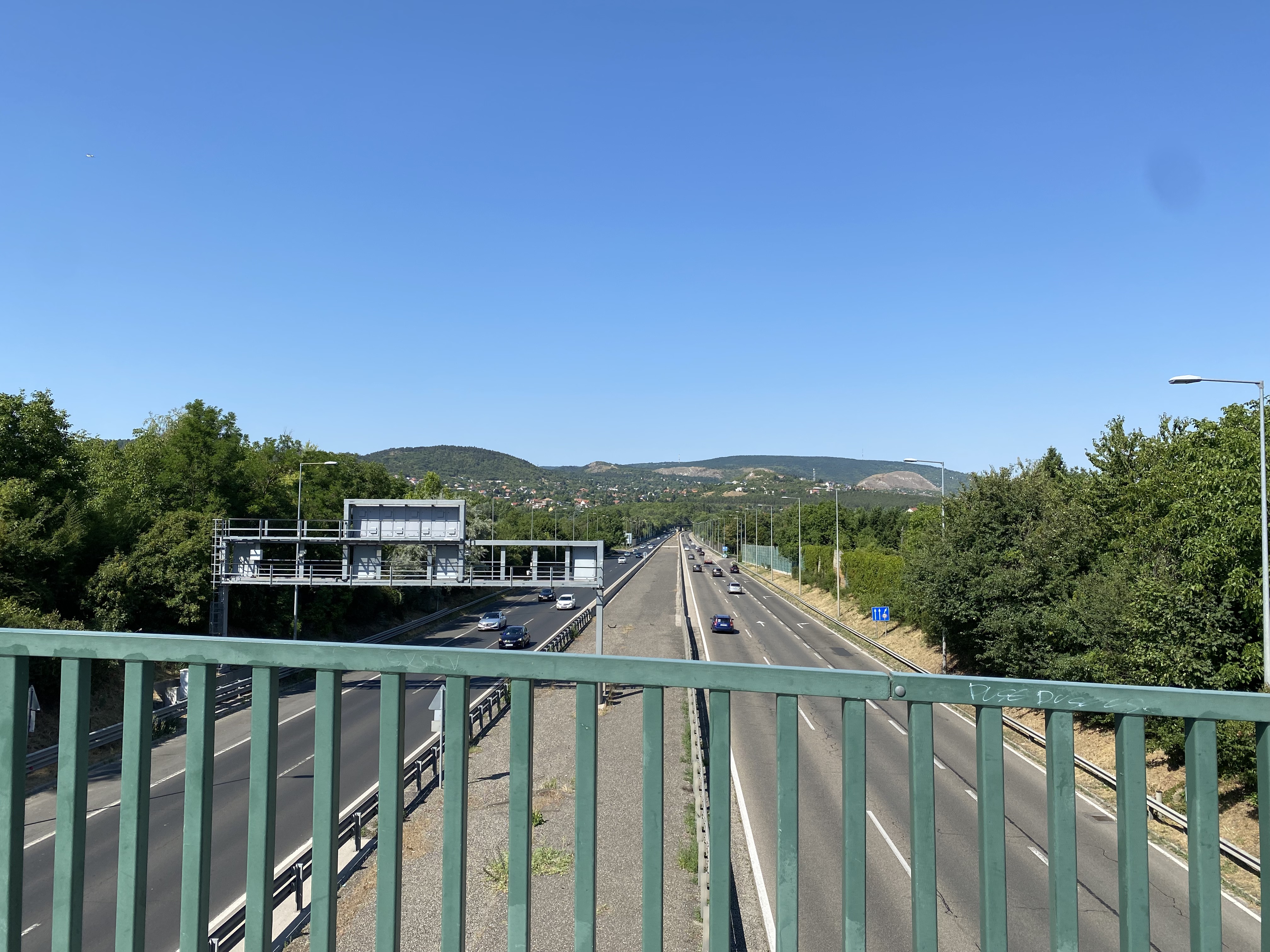
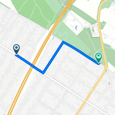
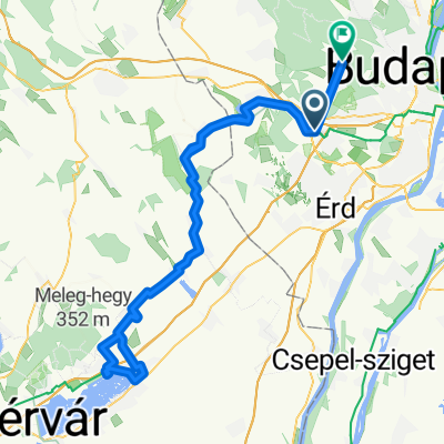
Téglagyár utca 12., Törökbálint-Jászai Mari utca 3., Törökbálint
A cycling route starting in Törökbálint, Pest County, Hungary.
Overview
About this route
- 50 min
- Duration
- 3.3 km
- Distance
- 28 m
- Ascent
- 16 m
- Descent
- 4 km/h
- Avg. speed
- ---
- Max. altitude
Route quality
Waytypes & surfaces along the route
Waytypes
Quiet road
2.9 km
(88 %)
Pedestrian area
0.4 km
(11 %)
Cycleway
0 km
(1 %)
Surfaces
Paved
2.7 km
(83 %)
Asphalt
2.7 km
(83 %)
Undefined
0.6 km
(17 %)
Continue with Bikemap
Use, edit, or download this cycling route
You would like to ride Téglagyár utca 12., Törökbálint-Jászai Mari utca 3., Törökbálint or customize it for your own trip? Here is what you can do with this Bikemap route:
Free features
- Save this route as favorite or in collections
- Copy & plan your own version of this route
- Sync your route with Garmin or Wahoo
Premium features
Free trial for 3 days, or one-time payment. More about Bikemap Premium.
- Navigate this route on iOS & Android
- Export a GPX / KML file of this route
- Create your custom printout (try it for free)
- Download this route for offline navigation
Discover more Premium features.
Get Bikemap PremiumFrom our community
Other popular routes starting in Törökbálint
- Törökbálint - Biatorbágy
- Distance
- 7 km
- Ascent
- 72 m
- Descent
- 68 m
- Location
- Törökbálint, Pest County, Hungary
- eMTB proba Bencevel
- Distance
- 4.3 km
- Ascent
- 46 m
- Descent
- 106 m
- Location
- Törökbálint, Pest County, Hungary
- Törökbálint - Szentendre
- Distance
- 43.2 km
- Ascent
- 102 m
- Descent
- 167 m
- Location
- Törökbálint, Pest County, Hungary
- Szt István utca, Törökbálint - Szegfű utca, Diósd
- Distance
- 4.6 km
- Ascent
- 103 m
- Descent
- 79 m
- Location
- Törökbálint, Pest County, Hungary
- Ady Endre utca 42., Törökbálint to Ady Endre utca 47., Törökbálint
- Distance
- 18.1 km
- Ascent
- 97 m
- Descent
- 98 m
- Location
- Törökbálint, Pest County, Hungary
- Muskátli utca 12., Budaörs to Báthori dűlő 27., Etyek
- Distance
- 19.3 km
- Ascent
- 612 m
- Descent
- 523 m
- Location
- Törökbálint, Pest County, Hungary
- Bajcsy-Zsilinszky utca - Tilos puszta
- Distance
- 95.3 km
- Ascent
- 612 m
- Descent
- 656 m
- Location
- Törökbálint, Pest County, Hungary
- Fél-Lufiszív
- Distance
- 115.4 km
- Ascent
- 569 m
- Descent
- 599 m
- Location
- Törökbálint, Pest County, Hungary
Open it in the app