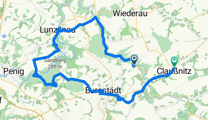
Sa6_2Diethensd-Göritzhain-Lunzenau-(Rochsbg)-Amerika-Höllbach-Burgst-Cl
A cycling route starting in Taura, Saxony, Germany.
Overview
About this route
- -:--
- Duration
- 31.6 km
- Distance
- 375 m
- Ascent
- 329 m
- Descent
- ---
- Avg. speed
- ---
- Max. altitude
Route quality
Waytypes & surfaces along the route
Waytypes
Quiet road
11.4 km
(36 %)
Road
5.4 km
(17 %)
Surfaces
Paved
24 km
(76 %)
Unpaved
1.6 km
(5 %)
Asphalt
22.8 km
(72 %)
Gravel
1.6 km
(5 %)
Continue with Bikemap
Use, edit, or download this cycling route
You would like to ride Sa6_2Diethensd-Göritzhain-Lunzenau-(Rochsbg)-Amerika-Höllbach-Burgst-Cl or customize it for your own trip? Here is what you can do with this Bikemap route:
Free features
- Save this route as favorite or in collections
- Copy & plan your own version of this route
- Sync your route with Garmin or Wahoo
Premium features
Free trial for 3 days, or one-time payment. More about Bikemap Premium.
- Navigate this route on iOS & Android
- Export a GPX / KML file of this route
- Create your custom printout (try it for free)
- Download this route for offline navigation
Discover more Premium features.
Get Bikemap PremiumFrom our community
Other popular routes starting in Taura
- 20' - FTP-Test (Chemnitztal)
- Distance
- 11.4 km
- Ascent
- 174 m
- Descent
- 79 m
- Location
- Taura, Saxony, Germany
- Chemnitztalroute
- Distance
- 4.8 km
- Ascent
- 133 m
- Descent
- 134 m
- Location
- Taura, Saxony, Germany
- schöne Runde
- Distance
- 83.2 km
- Ascent
- 660 m
- Descent
- 657 m
- Location
- Taura, Saxony, Germany
- Chemnitztal Schlammschlacht
- Distance
- 23.7 km
- Ascent
- 272 m
- Descent
- 272 m
- Location
- Taura, Saxony, Germany
- Taura - Frankenberg -Taura
- Distance
- 62.3 km
- Ascent
- 411 m
- Descent
- 395 m
- Location
- Taura, Saxony, Germany
- Multifunktionsstrecke für Junge Fahrradfahrer und für Jogger
- Distance
- 1.5 km
- Ascent
- 18 m
- Descent
- 15 m
- Location
- Taura, Saxony, Germany
- UnteresChemnitztal-real
- Distance
- 29.3 km
- Ascent
- 303 m
- Descent
- 302 m
- Location
- Taura, Saxony, Germany
- Mulderadweg
- Distance
- 221.4 km
- Ascent
- 210 m
- Descent
- 435 m
- Location
- Taura, Saxony, Germany
Open it in the app