
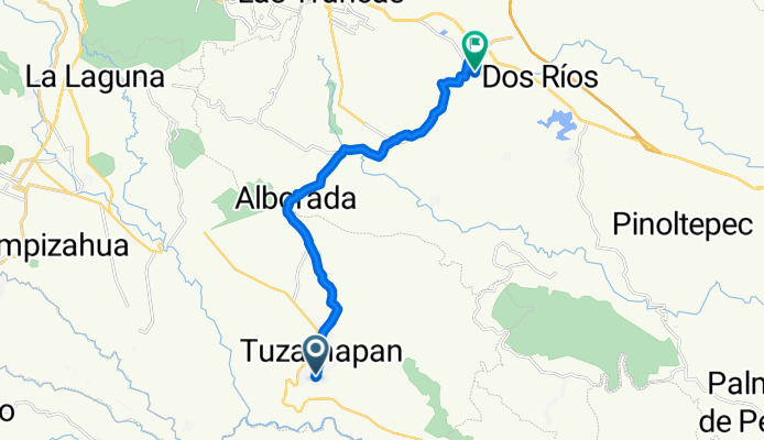
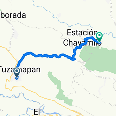
De Niño Artillero 19, Tuzamapan a Benito Juárez 28, El Lencero
A cycling route starting in Tuzamapan, Veracruz, Mexico.
Overview
About this route
- 56 min
- Duration
- 16.3 km
- Distance
- 360 m
- Ascent
- 179 m
- Descent
- 17.4 km/h
- Avg. speed
- ---
- Max. altitude

Route quality
Waytypes & surfaces along the route
Waytypes
Quiet road
10.3 km
(63 %)
Road
2.1 km
(13 %)
Surfaces
Paved
1.6 km
(10 %)
Unpaved
1.6 km
(10 %)
Asphalt
1.6 km
(10 %)
Unpaved (undefined)
1.6 km
(10 %)
Undefined
13 km
(80 %)
Continue with Bikemap
Use, edit, or download this cycling route
You would like to ride De Niño Artillero 19, Tuzamapan a Benito Juárez 28, El Lencero or customize it for your own trip? Here is what you can do with this Bikemap route:
Free features
- Save this route as favorite or in collections
- Copy & plan your own version of this route
- Sync your route with Garmin or Wahoo
Premium features
Free trial for 3 days, or one-time payment. More about Bikemap Premium.
- Navigate this route on iOS & Android
- Export a GPX / KML file of this route
- Create your custom printout (try it for free)
- Download this route for offline navigation
Discover more Premium features.
Get Bikemap PremiumFrom our community
Other popular routes starting in Tuzamapan
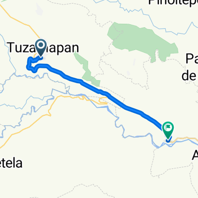 De Niño Artillero 19, Tuzamapan a Calle Benito Juarez 34, Jalcomulco
- Distance
- 16.6 km
- Ascent
- 20 m
- Descent
- 521 m
- Location
- Tuzamapan, Veracruz, Mexico
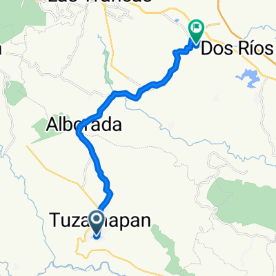 De Niño Artillero 19, Tuzamapan a Benito Juárez 28, El Lencero
- Distance
- 16.3 km
- Ascent
- 360 m
- Descent
- 179 m
- Location
- Tuzamapan, Veracruz, Mexico
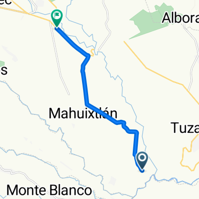 Ruta a Carretera Las Trancas-Coatepec, Coatepec
- Distance
- 8.7 km
- Ascent
- 367 m
- Descent
- 27 m
- Location
- Tuzamapan, Veracruz, Mexico
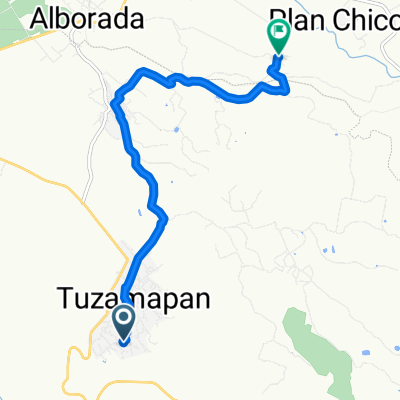
 De Niño Artillero 19, Tuzamapan a Juárez 3, Chavarrillo
- Distance
- 12.1 km
- Ascent
- 156 m
- Descent
- 128 m
- Location
- Tuzamapan, Veracruz, Mexico
 De Niño Artillero 19, Tuzamapan a Unnamed Road
- Distance
- 9.6 km
- Ascent
- 188 m
- Descent
- 68 m
- Location
- Tuzamapan, Veracruz, Mexico
Open it in the app