

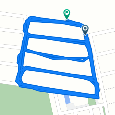
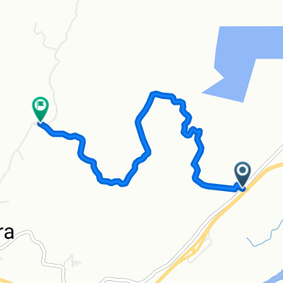
De 45 1787, Espinal a 45 1787, Espinal
A cycling route starting in Espinal, Tolima Department, Colombia.
Overview
About this route
- 1 h 36 min
- Duration
- 18.6 km
- Distance
- 22 m
- Ascent
- 0 m
- Descent
- 11.6 km/h
- Avg. speed
- ---
- Max. altitude

Route photos


Route quality
Waytypes & surfaces along the route
Waytypes
Quiet road
18.4 km
(99 %)
Road
0.2 km
(1 %)
Surfaces
Paved
12.9 km
(69 %)
Asphalt
12.7 km
(68 %)
Paved (undefined)
0.2 km
(1 %)
Undefined
5.8 km
(31 %)
Continue with Bikemap
Use, edit, or download this cycling route
You would like to ride De 45 1787, Espinal a 45 1787, Espinal or customize it for your own trip? Here is what you can do with this Bikemap route:
Free features
- Save this route as favorite or in collections
- Copy & plan your own version of this route
- Sync your route with Garmin or Wahoo
Premium features
Free trial for 3 days, or one-time payment. More about Bikemap Premium.
- Navigate this route on iOS & Android
- Export a GPX / KML file of this route
- Create your custom printout (try it for free)
- Download this route for offline navigation
Discover more Premium features.
Get Bikemap PremiumFrom our community
Other popular routes starting in Espinal
 vueltas al basrtio
- Distance
- 5.9 km
- Ascent
- 34 m
- Descent
- 51 m
- Location
- Espinal, Tolima Department, Colombia
 Relaxed route in El Espinal
- Distance
- 26.2 km
- Ascent
- 83 m
- Descent
- 82 m
- Location
- Espinal, Tolima Department, Colombia
 De 45 1787, Espinal a 45 1787, Espinal
- Distance
- 18.6 km
- Ascent
- 22 m
- Descent
- 0 m
- Location
- Espinal, Tolima Department, Colombia
 Ruta moderata
- Distance
- 28.4 km
- Ascent
- 110 m
- Descent
- 81 m
- Location
- Espinal, Tolima Department, Colombia
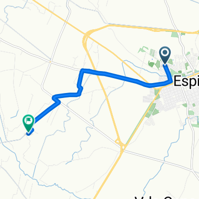
 De Vía Sin Nombre a Parque Praderas del Norte
- Distance
- 7.3 km
- Ascent
- 41 m
- Descent
- 69 m
- Location
- Espinal, Tolima Department, Colombia
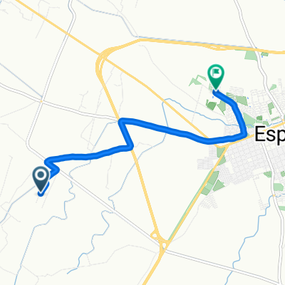
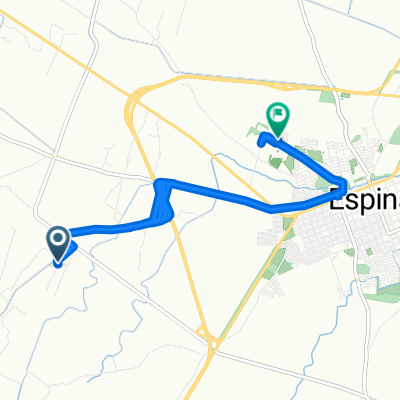 De Vía Sin Nombre a Parque Praderas del Norte
- Distance
- 21.9 km
- Ascent
- 41 m
- Descent
- 76 m
- Location
- Espinal, Tolima Department, Colombia
 Chicoral Gualanday
- Distance
- 29.4 km
- Ascent
- 305 m
- Descent
- 306 m
- Location
- Espinal, Tolima Department, Colombia
 Alternativa circuito Chicoral
- Distance
- 5.4 km
- Ascent
- 395 m
- Descent
- 343 m
- Location
- Espinal, Tolima Department, Colombia
Open it in the app