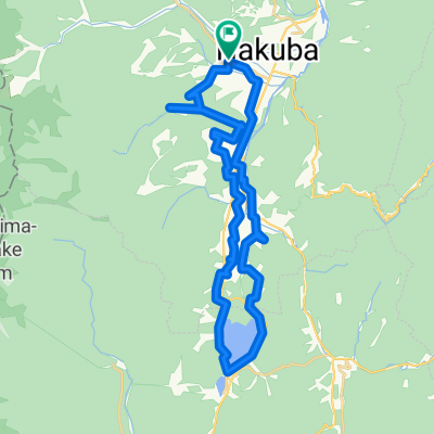
Superb View Cycling Route
A cycling route starting in Hakuba, Nagano, Japan.
Overview
About this route
This is amaing cycling route. When you ride in Mt. Kogumayama, Road is narrow and blind curves alot.  Please payattention Car and motorcycle. Â
- -:--
- Duration
- 68.5 km
- Distance
- 1,959 m
- Ascent
- 1,957 m
- Descent
- ---
- Avg. speed
- ---
- Avg. speed
Route quality
Waytypes & surfaces along the route
Waytypes
Quiet road
32 km
(47 %)
Road
12.1 km
(18 %)
Surfaces
Paved
8.7 km
(13 %)
Paved (undefined)
8.7 km
(13 %)
Undefined
59.8 km
(87 %)
Continue with Bikemap
Use, edit, or download this cycling route
You would like to ride Superb View Cycling Route or customize it for your own trip? Here is what you can do with this Bikemap route:
Free features
- Save this route as favorite or in collections
- Copy & plan your own version of this route
- Sync your route with Garmin or Wahoo
Premium features
Free trial for 3 days, or one-time payment. More about Bikemap Premium.
- Navigate this route on iOS & Android
- Export a GPX / KML file of this route
- Create your custom printout (try it for free)
- Download this route for offline navigation
Discover more Premium features.
Get Bikemap PremiumFrom our community
Other popular routes starting in Hakuba
- Rural Scene Along the Hime River
- Distance
- 12.1 km
- Ascent
- 122 m
- Descent
- 123 m
- Location
- Hakuba, Nagano, Japan
- 白馬駅コース
- Distance
- 10.1 km
- Ascent
- 90 m
- Descent
- 88 m
- Location
- Hakuba, Nagano, Japan
- Nishina three lakes and Mt.Koguma Hill Climb
- Distance
- 57.1 km
- Ascent
- 1,294 m
- Descent
- 1,299 m
- Location
- Hakuba, Nagano, Japan
- Rural Scene along the Hime River
- Distance
- 12.3 km
- Ascent
- 109 m
- Descent
- 109 m
- Location
- Hakuba, Nagano, Japan
- Scenic Short Cycling Route
- Distance
- 8.8 km
- Ascent
- 109 m
- Descent
- 107 m
- Location
- Hakuba, Nagano, Japan
- Village Forest and Nishina three lakes
- Distance
- 40 km
- Ascent
- 858 m
- Descent
- 860 m
- Location
- Hakuba, Nagano, Japan
- Hakuba's Best Scenic Spots Route
- Distance
- 27.6 km
- Ascent
- 268 m
- Descent
- 268 m
- Location
- Hakuba, Nagano, Japan
- Tsugaike Scenic Route with Various Blooms
- Distance
- 23.2 km
- Ascent
- 381 m
- Descent
- 381 m
- Location
- Hakuba, Nagano, Japan