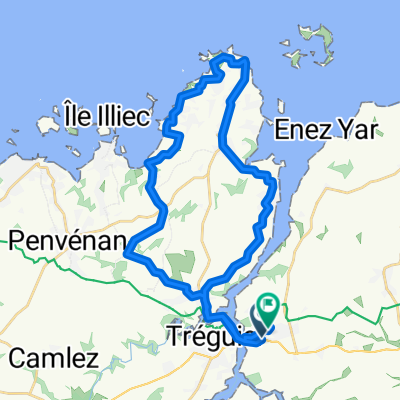
Recovered Route
- 5.3 km
- 79 m
- 68 m
- Trédarzec, Brittany Region, France
Overview
created this 4 years ago
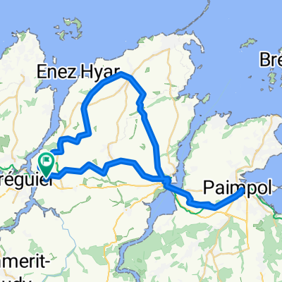
Part of
Bretagne
1 stage
Route quality
Path
87.5 km
(50 %)
Quiet road
43.7 km
(25 %)
Paved
29.7 km
(17 %)
Unpaved
89.2 km
(51 %)
Gravel
59.5 km
(34 %)
Asphalt
28 km
(16 %)
Continue with Bikemap
You would like to ride Concarneau or customize it for your own trip? Here is what you can do with this Bikemap route:
Free trial for 3 days, or one-time payment. More about Bikemap Premium.
Discover more Premium features.
Get Bikemap PremiumFrom our community
Open it in the app