Schönfeldweg - Goggausee
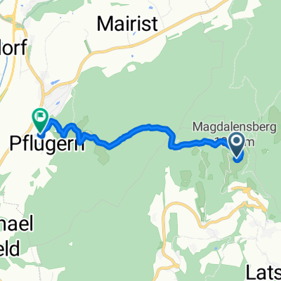
A cycling route starting in St. Georgen am Längsee, Carinthia, Austria.
Overview
About this route
- -:--
- Duration
- 33.8 km
- Distance
- 955 m
- Ascent
- 735 m
- Descent
- ---
- Avg. speed
- 770 m
- Max. altitude
Route quality
Waytypes & surfaces along the route
Waytypes
Quiet road
16.9 km
(50 %)
Track
4.1 km
(12 %)
Surfaces
Paved
5.1 km
(15 %)
Unpaved
11.2 km
(33 %)
Unpaved (undefined)
6.4 km
(19 %)
Gravel
4.4 km
(13 %)
Continue with Bikemap
Use, edit, or download this cycling route
You would like to ride Schönfeldweg - Goggausee or customize it for your own trip? Here is what you can do with this Bikemap route:
Free features
- Save this route as favorite or in collections
- Copy & plan your own version of this route
- Sync your route with Garmin or Wahoo
Premium features
Free trial for 3 days, or one-time payment. More about Bikemap Premium.
- Navigate this route on iOS & Android
- Export a GPX / KML file of this route
- Create your custom printout (try it for free)
- Download this route for offline navigation
Discover more Premium features.
Get Bikemap PremiumFrom our community
Other popular routes starting in St. Georgen am Längsee
- singletrail Magdalensberg
- Distance
- 4.2 km
- Ascent
- 4 m
- Descent
- 543 m
- Location
- St. Georgen am Längsee, Carinthia, Austria
- St. Georgen am Längssee - Ljubljana
- Distance
- 130.3 km
- Ascent
- 2,445 m
- Descent
- 2,750 m
- Location
- St. Georgen am Längsee, Carinthia, Austria
- St. Florian über Mannsbergboden
- Distance
- 22.8 km
- Ascent
- 405 m
- Descent
- 410 m
- Location
- St. Georgen am Längsee, Carinthia, Austria
- Schönfeldweg - Goggausee
- Distance
- 33.8 km
- Ascent
- 955 m
- Descent
- 735 m
- Location
- St. Georgen am Längsee, Carinthia, Austria
- St. Georgen-Christofberg-Magdalensberg
- Distance
- 32.9 km
- Ascent
- 842 m
- Descent
- 843 m
- Location
- St. Georgen am Längsee, Carinthia, Austria
- Magdalensberg - Christophberg
- Distance
- 8.6 km
- Ascent
- 254 m
- Descent
- 251 m
- Location
- St. Georgen am Längsee, Carinthia, Austria
- Golfplatzrunde
- Distance
- 22.5 km
- Ascent
- 328 m
- Descent
- 328 m
- Location
- St. Georgen am Längsee, Carinthia, Austria
- Launsdorf - Görtschitztal - Wendl - Launsdorf
- Distance
- 34.3 km
- Ascent
- 581 m
- Descent
- 581 m
- Location
- St. Georgen am Längsee, Carinthia, Austria
Open it in the app