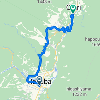
<作成中>【長野県】夏~秋限定!感動の大パノラマ「黒菱林道」コースを走破せよ!|HAKUBAスローサイクリングのすゝめ#5_白馬駅~黒菱林道入口
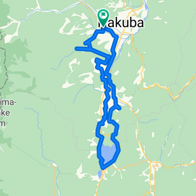
- 2.3 km
- 67 m
- 0 m
- Hakuba, Nagano, Japan


Road
11.3 km41 %Quiet road
10.5 km38 %Free trial for 3 days, or one-time payment. More about Bikemap Premium.
Discover more Premium features.
Get Bikemap PremiumOpen it in the app