

Chapples+River
A cycling route starting in Thunder Bay, Ontario, Canada.
Overview
About this route
- -:--
- Duration
- 9.7 km
- Distance
- 12 m
- Ascent
- 14 m
- Descent
- ---
- Avg. speed
- ---
- Max. altitude

Continue with Bikemap
Use, edit, or download this cycling route
You would like to ride Chapples+River or customize it for your own trip? Here is what you can do with this Bikemap route:
Free features
- Save this route as favorite or in collections
- Copy & plan your own version of this route
- Sync your route with Garmin or Wahoo
Premium features
Free trial for 3 days, or one-time payment. More about Bikemap Premium.
- Navigate this route on iOS & Android
- Export a GPX / KML file of this route
- Create your custom printout (try it for free)
- Download this route for offline navigation
Discover more Premium features.
Get Bikemap PremiumFrom our community
Other popular routes starting in Thunder Bay
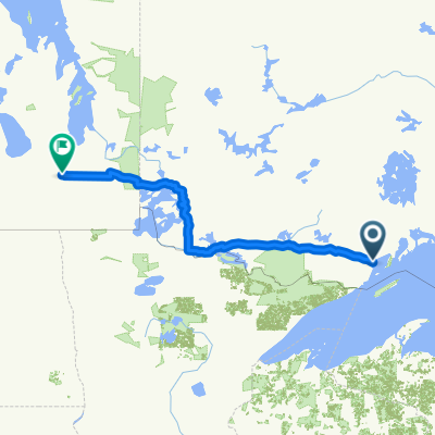 Etape 3 - Thunder Bay to Winnipeg
- Distance
- 771.2 km
- Ascent
- 745 m
- Descent
- 698 m
- Location
- Thunder Bay, Ontario, Canada
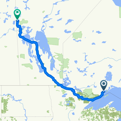
 Thunder Bay to Sault Ste Marie
- Distance
- 712.4 km
- Ascent
- 6,045 m
- Descent
- 6,017 m
- Location
- Thunder Bay, Ontario, Canada
 Duluth 300km
- Distance
- 299.5 km
- Ascent
- 663 m
- Descent
- 667 m
- Location
- Thunder Bay, Ontario, Canada
 Flin Flon Manitoba
- Distance
- 1,656.8 km
- Ascent
- 849 m
- Descent
- 739 m
- Location
- Thunder Bay, Ontario, Canada
 Gillies-Nolalu 110km
- Distance
- 108.3 km
- Ascent
- 579 m
- Descent
- 578 m
- Location
- Thunder Bay, Ontario, Canada
 Sandy beach
- Distance
- 35.7 km
- Ascent
- 66 m
- Descent
- 107 m
- Location
- Thunder Bay, Ontario, Canada
 2016 - Canada - Jour 39
- Distance
- 140.8 km
- Ascent
- 455 m
- Descent
- 388 m
- Location
- Thunder Bay, Ontario, Canada
 Jim house
- Distance
- 16.3 km
- Ascent
- 72 m
- Descent
- 41 m
- Location
- Thunder Bay, Ontario, Canada
Open it in the app