Rieth Stausee - Altenfelden - Nonnreit 250
- 154 km
- 334 m
- 258 m
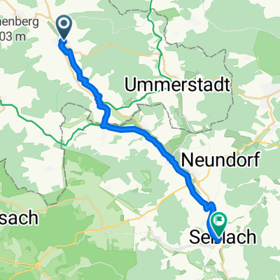
- Hellingen, Thuringia, Germany
A cycling route starting in Hellingen, Thuringia, Germany.
Overview
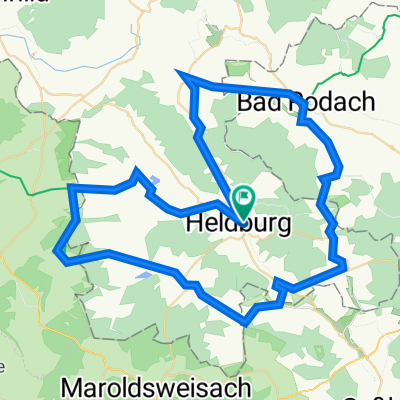
The approximately 12 km long route is nice to ride with children. The highlight is the Heldburg.
created this 15 years ago
Route quality
Track
7.7 km
60 %
Quiet road
3.9 km
30 %
Paved
3.4 km
(26 %)
Unpaved
7.5 km
(58 %)
Gravel
4.5 km
35 %
Asphalt
2.7 km
21 %
Continue with Bikemap
You would like to ride Bad Colberg-Heldburg-Bad Rodach or customize it for your own trip? Here is what you can do with this Bikemap route:
Free trial for 3 days, or one-time payment. More about Bikemap Premium.
Discover more Premium features.
Get Bikemap PremiumFrom our community
Open it in the app