Essen/Kettwig-Duisburg
- 31.2 km
- 83 m
- 106 m
- Heiligenhaus, North Rhine-Westphalia, Germany
A cycling route starting in Heiligenhaus, North Rhine-Westphalia, Germany.
Overview
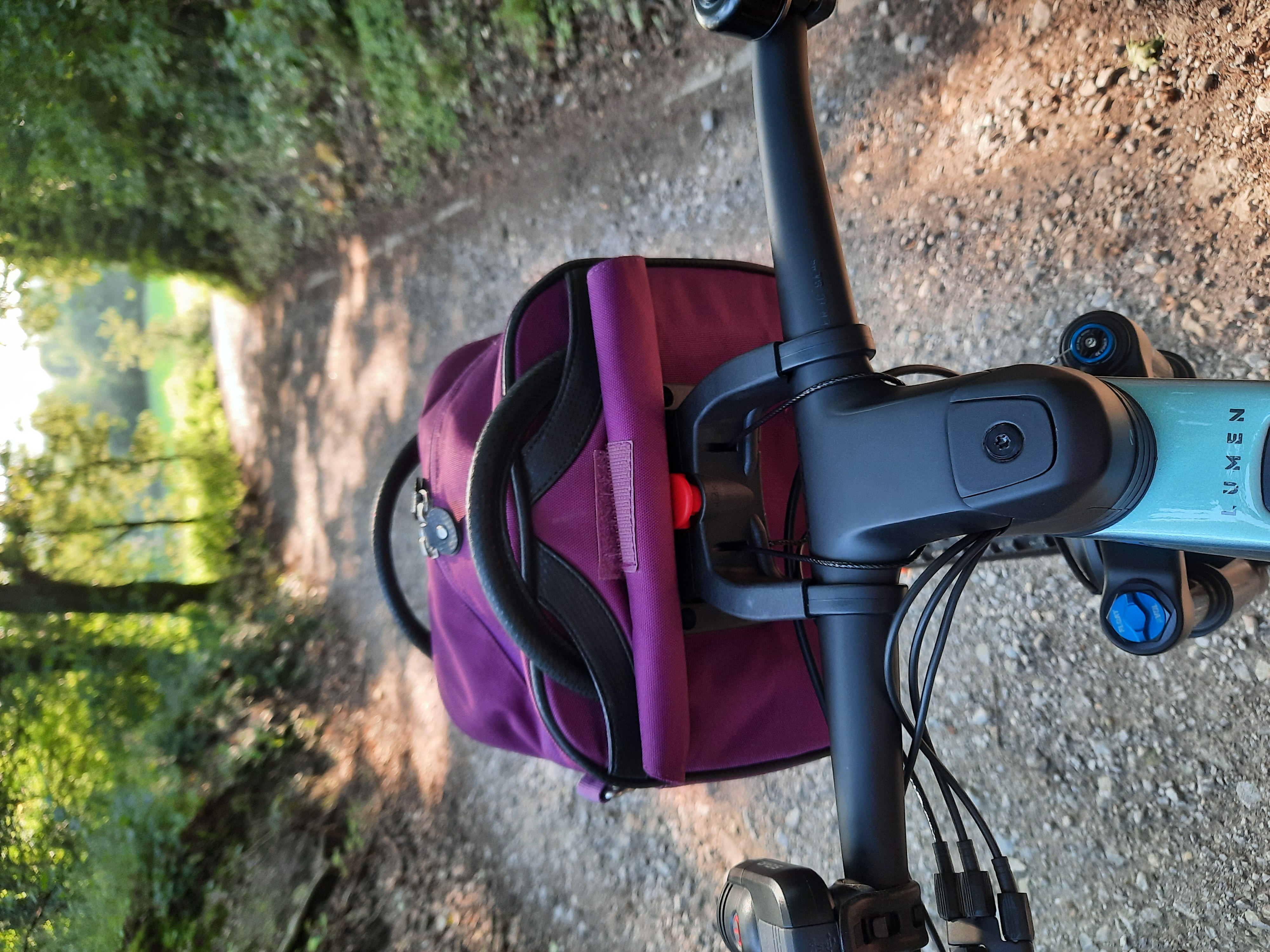
Route mostly runs through the city area of Heiligenhaus, except for a few meters. Suitable for MTB and trekking bikes. Goes uphill and downhill and partly along the Niederberg panoramic bike path. Route from Höseler Platz to Rathaus.
created this 15 years ago
Route quality
Quiet road
11.8 km
40 %
Path
6.5 km
22 %
Paved
23.6 km
(80 %)
Unpaved
3.8 km
(13 %)
Asphalt
20.1 km
68 %
Paved (undefined)
3.5 km
12 %
Continue with Bikemap
You would like to ride Grüne Ecken Heiligenhaus or customize it for your own trip? Here is what you can do with this Bikemap route:
Free trial for 3 days, or one-time payment. More about Bikemap Premium.
Discover more Premium features.
Get Bikemap PremiumFrom our community
Open it in the app