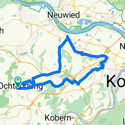
Kurze Eifelrundfahrt
- 25.8 km
- 207 m
- 207 m
- Ochtendung, Rhineland-Palatinate, Germany
A cycling route starting in Ochtendung, Rhineland-Palatinate, Germany.
Overview
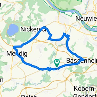
Fünf-Täler-RTF - 155 km
RTF des DJK Ochtendung 1920 e.V.
Alle weiteren Hinweise zu dieser Strecke -> hier anklicken
created this 14 years ago
Route quality
Track
17.1 km
(11 %)
Road
15.6 km
(10 %)
Paved
129.3 km
(83 %)
Unpaved
1.6 km
(1 %)
Asphalt
127.7 km
(82 %)
Paved (undefined)
1.6 km
(1 %)
Route highlights

Kontrolle 1 - Binnigen

Kontrolle 2 Mastershausen

Kontrolle 3 Bruttig

Kontrolle 4 Münstermaifeld
Continue with Bikemap
You would like to ride Fünf-Täler-RTF des DJK Ochtendung 1920 e.V. - 155 km Strecke or customize it for your own trip? Here is what you can do with this Bikemap route:
Free trial for 3 days, or one-time payment. More about Bikemap Premium.
Discover more Premium features.
Get Bikemap PremiumFrom our community
Open it in the app