

Schönreither Straße, Wartberg nach Pregarten
- 54.4 km
- 747 m
- 659 m
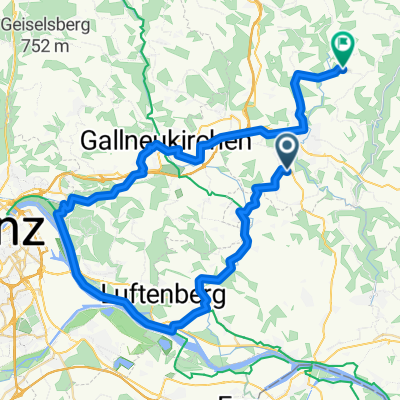
- Engerwitzdorf, Upper Austria, Austria
A cycling route starting in Engerwitzdorf, Upper Austria, Austria.
Overview
created this 4 years ago
Route quality
Quiet road
94.5 km
(28 %)
Road
43.9 km
(13 %)
Paved
219.4 km
(65 %)
Unpaved
10.1 km
(3 %)
Asphalt
219.4 km
(65 %)
Gravel
6.8 km
(2 %)
Continue with Bikemap
You would like to ride Haid - Enns - Mur - Görtschitz - Klagenfurt or customize it for your own trip? Here is what you can do with this Bikemap route:
Free trial for 3 days, or one-time payment. More about Bikemap Premium.
Discover more Premium features.
Get Bikemap PremiumFrom our community
Open it in the app


