

r222 ROAM
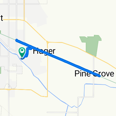
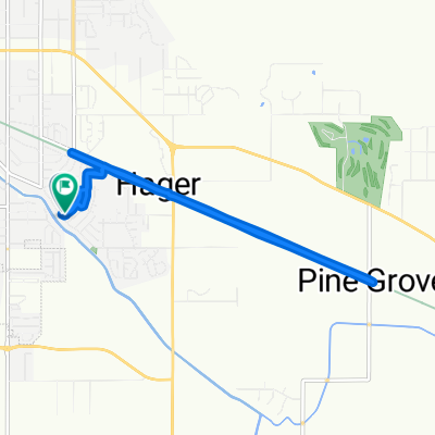
A cycling route starting in Altamont, Oregon, United States.
Overview
About this route
<span style="font-family: Arial, Helvetica, sans-serif; font-size: 11px;">klamath falls KOA campground-upper klamath lake-fort klamath-annie creek-goodbye creek-crater lake rim-mazama campground</span>
- -:--
- Duration
- 156.4 km
- Distance
- 1,610 m
- Ascent
- 1,023 m
- Descent
- ---
- Avg. speed
- ---
- Max. altitude
Continue with Bikemap
Use, edit, or download this cycling route
You would like to ride r222 ROAM or customize it for your own trip? Here is what you can do with this Bikemap route:
Free features
- Save this route as favorite or in collections
- Copy & plan your own version of this route
- Split it into stages to create a multi-day tour
- Sync your route with Garmin or Wahoo
Premium features
Free trial for 3 days, or one-time payment. More about Bikemap Premium.
- Navigate this route on iOS & Android
- Export a GPX / KML file of this route
- Create your custom printout (try it for free)
- Download this route for offline navigation
Discover more Premium features.
Get Bikemap PremiumFrom our community
Other popular routes starting in Altamont
 reader+
- Distance
- 11.5 km
- Ascent
- 59 m
- Descent
- 51 m
- Location
- Altamont, Oregon, United States
 reader
- Distance
- 10.1 km
- Ascent
- 44 m
- Descent
- 48 m
- Location
- Altamont, Oregon, United States
 r222 ROAM
- Distance
- 156.4 km
- Ascent
- 1,610 m
- Descent
- 1,023 m
- Location
- Altamont, Oregon, United States
 Klamath Falls to Lake Almanor
- Distance
- 406.8 km
- Ascent
- 3,314 m
- Descent
- 3,155 m
- Location
- Altamont, Oregon, United States
Open it in the app