

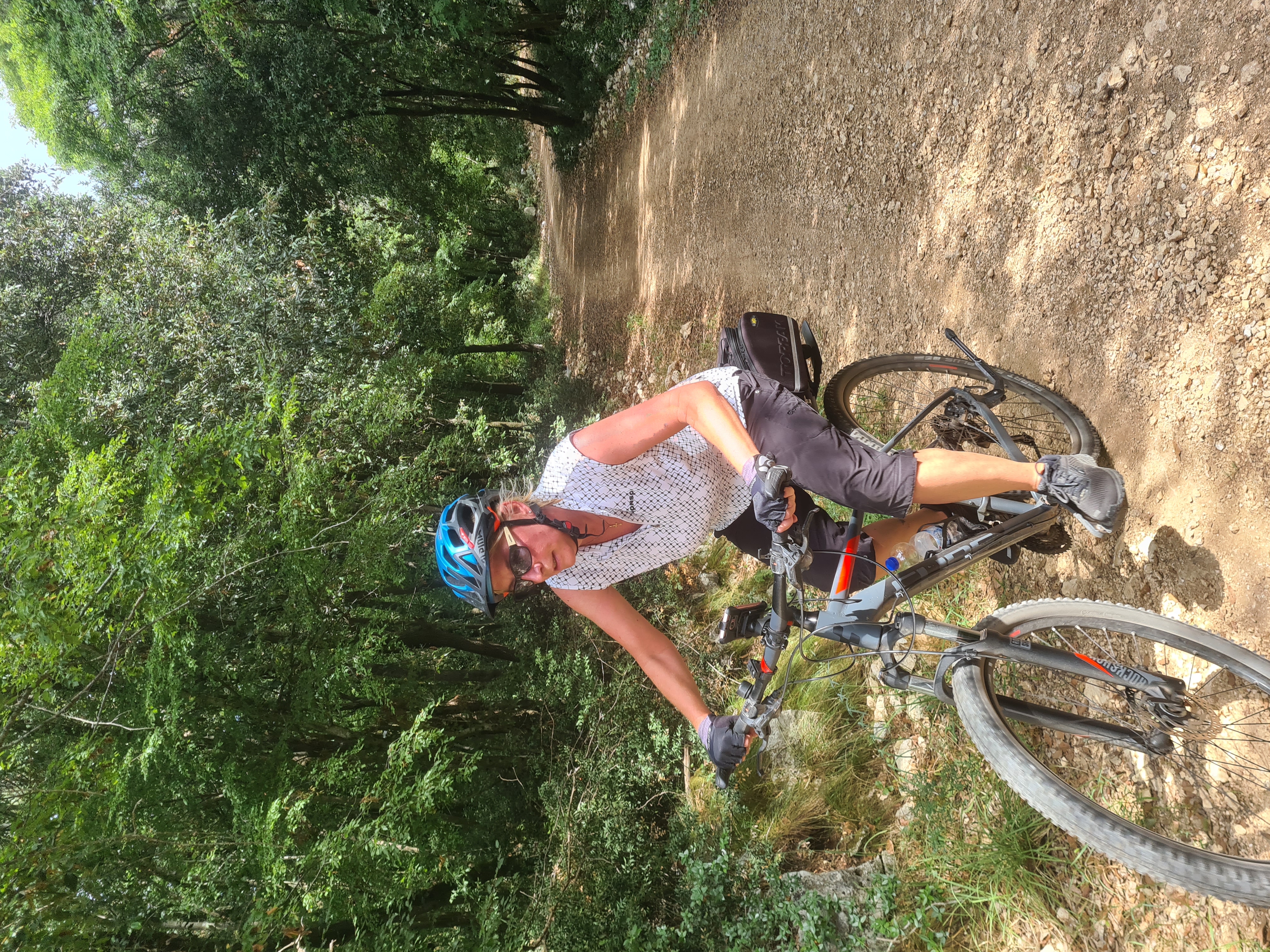
Theley Hasborn Büschelfeld Primstal und zurück
A cycling route starting in Tholey, Saarland, Germany.
Overview
About this route
- 2 h 43 min
- Duration
- 38.8 km
- Distance
- 474 m
- Ascent
- 475 m
- Descent
- 14.3 km/h
- Avg. speed
- ---
- Max. altitude
Route quality
Waytypes & surfaces along the route
Waytypes
Track
11.8 km
(31 %)
Quiet road
6.9 km
(18 %)
Surfaces
Paved
21.4 km
(55 %)
Unpaved
12 km
(31 %)
Asphalt
16.6 km
(43 %)
Gravel
9.6 km
(25 %)
Continue with Bikemap
Use, edit, or download this cycling route
You would like to ride Theley Hasborn Büschelfeld Primstal und zurück or customize it for your own trip? Here is what you can do with this Bikemap route:
Free features
- Save this route as favorite or in collections
- Copy & plan your own version of this route
- Sync your route with Garmin or Wahoo
Premium features
Free trial for 3 days, or one-time payment. More about Bikemap Premium.
- Navigate this route on iOS & Android
- Export a GPX / KML file of this route
- Create your custom printout (try it for free)
- Download this route for offline navigation
Discover more Premium features.
Get Bikemap PremiumFrom our community
Other popular routes starting in Tholey
 Tafeltour Offizierspfad Imsbach
- Distance
- 11.1 km
- Ascent
- 252 m
- Descent
- 251 m
- Location
- Tholey, Saarland, Germany
 3-Seen-Tour
- Distance
- 59.6 km
- Ascent
- 827 m
- Descent
- 840 m
- Location
- Tholey, Saarland, Germany
 Drei-Burgen-Fahrt 2013 - RTF des RV Schaumberg Theley e.V. - 118 km Strecke
- Distance
- 120.5 km
- Ascent
- 1,703 m
- Descent
- 1,733 m
- Location
- Tholey, Saarland, Germany
 2019-08-27
- Distance
- 106.7 km
- Ascent
- 632 m
- Descent
- 895 m
- Location
- Tholey, Saarland, Germany
 Drei-Burgen-Fahrt 2013 - RTF des RV Schaumberg Theley e.V. - 71 km Strecke
- Distance
- 73 km
- Ascent
- 878 m
- Descent
- 890 m
- Location
- Tholey, Saarland, Germany
 Drei-Burgen-Fahrt 2010 - RTF des RV Schaumberg Theley e.V. - 155 km Strecke
- Distance
- 149.9 km
- Ascent
- 1,996 m
- Descent
- 1,986 m
- Location
- Tholey, Saarland, Germany
 Bohnental-Rundwanderweg
- Distance
- 14.3 km
- Ascent
- 300 m
- Descent
- 298 m
- Location
- Tholey, Saarland, Germany
 St.Wendeler Land
- Distance
- 51.1 km
- Ascent
- 1,816 m
- Descent
- 1,817 m
- Location
- Tholey, Saarland, Germany
Open it in the app