CAP_velo
A cycling route starting in Fontenay-sous-Bois, ÃŽle-de-France Region, France.
Overview
About this route
- -:--
- Duration
- 147.7 km
- Distance
- 602 m
- Ascent
- 668 m
- Descent
- ---
- Avg. speed
- ---
- Max. altitude
Route quality
Waytypes & surfaces along the route
Waytypes
Quiet road
63.5 km
(43 %)
Road
31 km
(21 %)
Surfaces
Paved
69.4 km
(47 %)
Asphalt
67.9 km
(46 %)
Concrete
1.5 km
(1 %)
Undefined
78.3 km
(53 %)
Route highlights
Points of interest along the route
Point of interest after 0 km
Depart
Point of interest after 53.9 km
Camping "Caravaning des Maurois"
Point of interest after 147.7 km
Arrivée
Continue with Bikemap
Use, edit, or download this cycling route
You would like to ride CAP_velo or customize it for your own trip? Here is what you can do with this Bikemap route:
Free features
- Save this route as favorite or in collections
- Copy & plan your own version of this route
- Split it into stages to create a multi-day tour
- Sync your route with Garmin or Wahoo
Premium features
Free trial for 3 days, or one-time payment. More about Bikemap Premium.
- Navigate this route on iOS & Android
- Export a GPX / KML file of this route
- Create your custom printout (try it for free)
- Download this route for offline navigation
Discover more Premium features.
Get Bikemap PremiumFrom our community
Other popular routes starting in Fontenay-sous-Bois
CAP_velo- Distance
- 147.7 km
- Ascent
- 602 m
- Descent
- 668 m
- Location
- Fontenay-sous-Bois, ÃŽle-de-France Region, France
21 Rue des Mocards, Fontenay-sous-Bois à 1 Rue de la République, Charenton-le-Pont- Distance
- 6.3 km
- Ascent
- 98 m
- Descent
- 119 m
- Location
- Fontenay-sous-Bois, ÃŽle-de-France Region, France
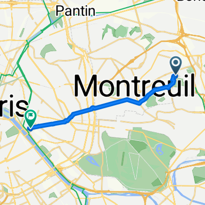
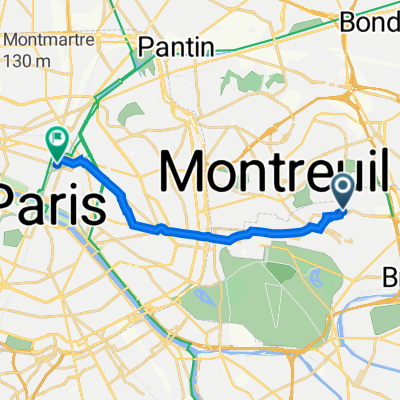
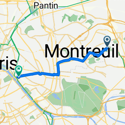
48 Rue Roger Salengro, Fontenay-sous-Bois à 6 Avenue Aubert, Vincennes- Distance
- 4.5 km
- Ascent
- 53 m
- Descent
- 62 m
- Location
- Fontenay-sous-Bois, ÃŽle-de-France Region, France
54 k retour polygone- Distance
- 54.8 km
- Ascent
- 221 m
- Descent
- 221 m
- Location
- Fontenay-sous-Bois, ÃŽle-de-France Region, France
boucle 65 km Montreuil- Distance
- 65.2 km
- Ascent
- 393 m
- Descent
- 393 m
- Location
- Fontenay-sous-Bois, ÃŽle-de-France Region, France
Fontenay _ Villenoy- Distance
- 44.5 km
- Ascent
- 74 m
- Descent
- 127 m
- Location
- Fontenay-sous-Bois, ÃŽle-de-France Region, France
Paris 2 Epernay- Distance
- 130.5 km
- Ascent
- 523 m
- Descent
- 512 m
- Location
- Fontenay-sous-Bois, ÃŽle-de-France Region, France
48 Rue du Commandant Jean Duhail, Fontenay-sous-Bois à 9 Quai de Bercy, Charenton-le-Pont- Distance
- 7.7 km
- Ascent
- 27 m
- Descent
- 53 m
- Location
- Fontenay-sous-Bois, ÃŽle-de-France Region, France
Open it in the app


