

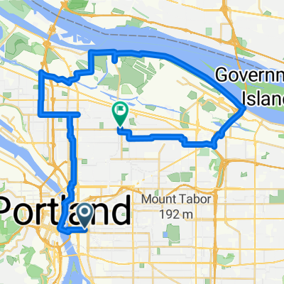
Spencer + Brittney
A cycling route starting in Portland, Oregon, United States.
Overview
About this route
Tilt your head to the left and see if you can make out the ____ + ____ you'll create! :)
- -:--
- Duration
- 1.6 km
- Distance
- 36 m
- Ascent
- 51 m
- Descent
- ---
- Avg. speed
- ---
- Max. altitude
Continue with Bikemap
Use, edit, or download this cycling route
You would like to ride Spencer + Brittney or customize it for your own trip? Here is what you can do with this Bikemap route:
Free features
- Save this route as favorite or in collections
- Copy & plan your own version of this route
- Sync your route with Garmin or Wahoo
Premium features
Free trial for 3 days, or one-time payment. More about Bikemap Premium.
- Navigate this route on iOS & Android
- Export a GPX / KML file of this route
- Create your custom printout (try it for free)
- Download this route for offline navigation
Discover more Premium features.
Get Bikemap PremiumFrom our community
Other popular routes starting in Portland
 Portland to Casc Locks OR via I 84
- Distance
- 71.7 km
- Ascent
- 318 m
- Descent
- 316 m
- Location
- Portland, Oregon, United States
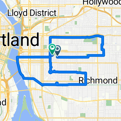
 Modified Sellwood bridge route
- Distance
- 18.5 km
- Ascent
- 211 m
- Descent
- 212 m
- Location
- Portland, Oregon, United States
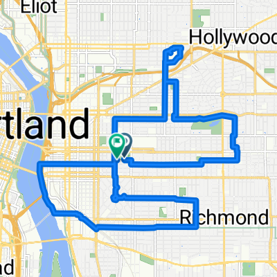
 Wednesday 9/24
- Distance
- 37.7 km
- Ascent
- 225 m
- Descent
- 187 m
- Location
- Portland, Oregon, United States
 Waterfront 8/9/17
- Distance
- 17 km
- Ascent
- 131 m
- Descent
- 133 m
- Location
- Portland, Oregon, United States
 8/2017 Century Plus Route 1
- Distance
- 177.9 km
- Ascent
- 995 m
- Descent
- 993 m
- Location
- Portland, Oregon, United States
 50mi loop to troutdale
- Distance
- 75.9 km
- Ascent
- 278 m
- Descent
- 274 m
- Location
- Portland, Oregon, United States
 august: a taylor swift ride v1
- Distance
- 15.4 km
- Ascent
- 98 m
- Descent
- 103 m
- Location
- Portland, Oregon, United States
 august: a taylor swift ride v2
- Distance
- 18.9 km
- Ascent
- 116 m
- Descent
- 121 m
- Location
- Portland, Oregon, United States
Open it in the app