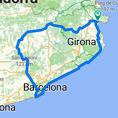
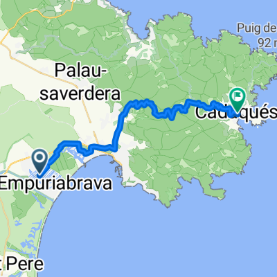
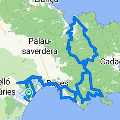
Parc Natural Cap Creus
- 69.2 km
- 1,533 m
- 1,450 m
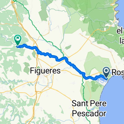
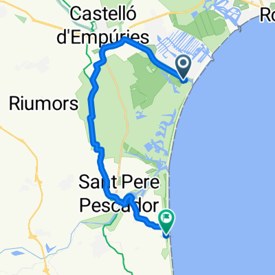
- Empuriabrava, Catalonia, Spain
A cycling route starting in Empuriabrava, Catalonia, Spain.
Overview
Fantastic MTB tour through the Cap Creus National Park. About 100 meters of elevation must be carried by the MTB when descending/ascending to/from a cove. The effort is worth it! The climb to Col Aldo requires good fitness.
Route quality
Track
25.6 km
(37 %)
Road
20.1 km
(29 %)
Paved
28.4 km
(41 %)
Unpaved
25.6 km
(37 %)
Asphalt
27.7 km
(40 %)
Gravel
22.2 km
(32 %)
Continue with Bikemap
You would like to ride Parc Natural Cap Creus or customize it for your own trip? Here is what you can do with this Bikemap route:
Free trial for 3 days, or one-time payment. More about Bikemap Premium.
Discover more Premium features.
Get Bikemap PremiumFrom our community
Open it in the app