

De Vía a El Rosal 275 a Calle 137a #101b-54, Bogotá
A cycling route starting in El Rosal, Cundinamarca, Colombia.
Overview
About this route
- 2 h 30 min
- Duration
- 25.3 km
- Distance
- 0 m
- Ascent
- 13 m
- Descent
- 10.1 km/h
- Avg. speed
- ---
- Max. altitude

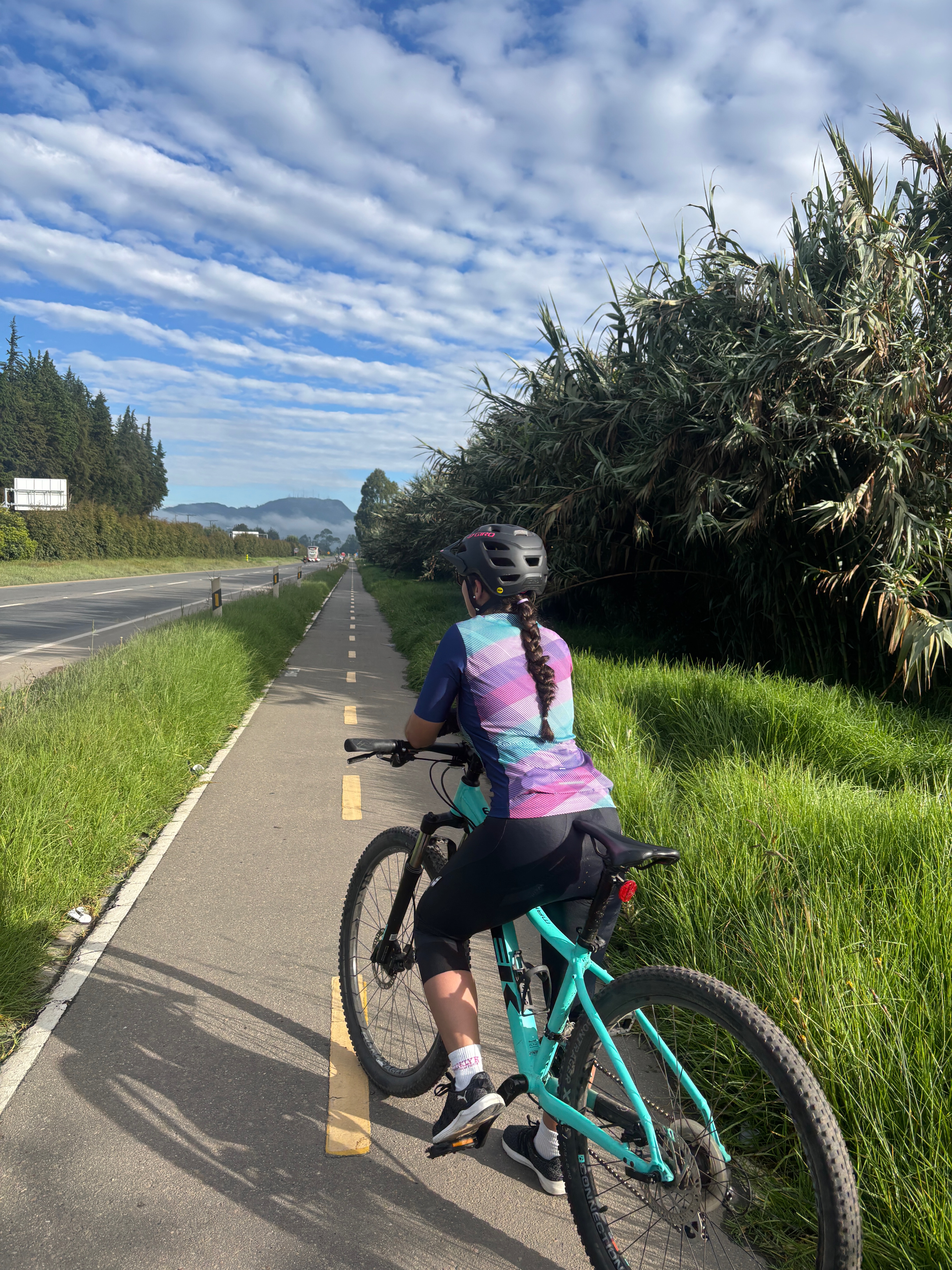
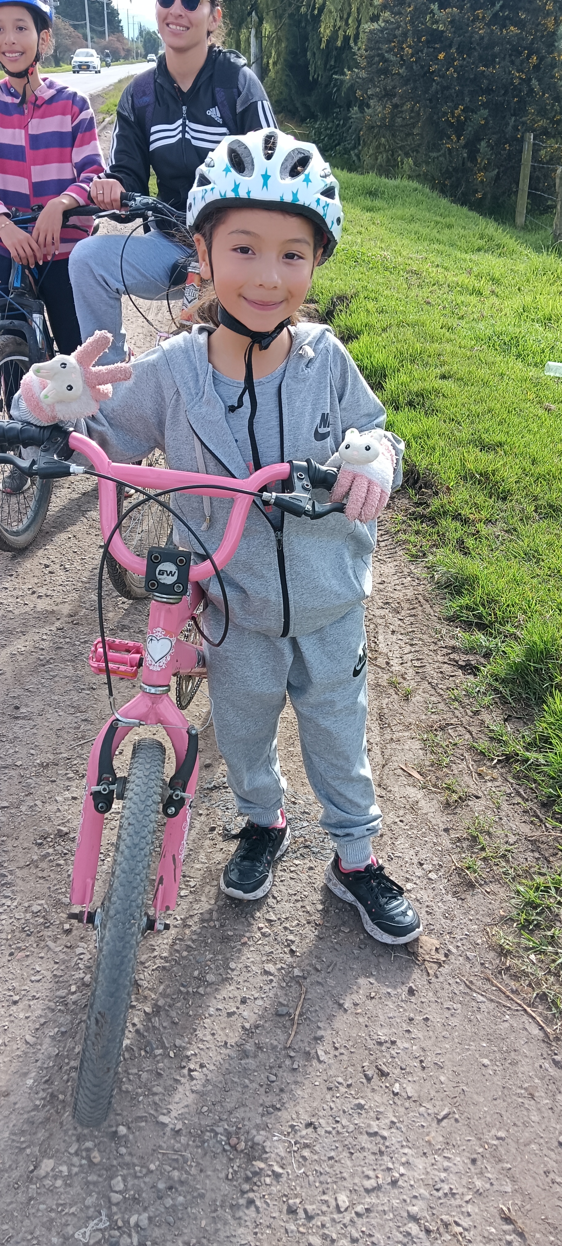
Route photos


Continue with Bikemap
Use, edit, or download this cycling route
You would like to ride De Vía a El Rosal 275 a Calle 137a #101b-54, Bogotá or customize it for your own trip? Here is what you can do with this Bikemap route:
Free features
- Save this route as favorite or in collections
- Copy & plan your own version of this route
- Sync your route with Garmin or Wahoo
Premium features
Free trial for 3 days, or one-time payment. More about Bikemap Premium.
- Navigate this route on iOS & Android
- Export a GPX / KML file of this route
- Create your custom printout (try it for free)
- Download this route for offline navigation
Discover more Premium features.
Get Bikemap PremiumFrom our community
Other popular routes starting in El Rosal
 15 de junio
- Distance
- 36.5 km
- Ascent
- 181 m
- Descent
- 178 m
- Location
- El Rosal, Cundinamarca, Colombia
 Ruta desde Subachoque-El Rosal
- Distance
- 8 km
- Ascent
- 98 m
- Descent
- 93 m
- Location
- El Rosal, Cundinamarca, Colombia
 De Facatativá, El Vino a Calle 18a 3-07, Funza
- Distance
- 58.8 km
- Ascent
- 521 m
- Descent
- 512 m
- Location
- El Rosal, Cundinamarca, Colombia
 rosal
rosal- Distance
- 3.6 km
- Ascent
- 311 m
- Descent
- 92 m
- Location
- El Rosal, Cundinamarca, Colombia
 Vereda Puente Piedra to Calle 4-70
- Distance
- 20.4 km
- Ascent
- 348 m
- Descent
- 390 m
- Location
- El Rosal, Cundinamarca, Colombia
 Rocas del origen
- Distance
- 35.7 km
- Ascent
- 155 m
- Descent
- 162 m
- Location
- El Rosal, Cundinamarca, Colombia
 De Calle 9 51, El Rosal a Mosquera
- Distance
- 21.8 km
- Ascent
- 60 m
- Descent
- 126 m
- Location
- El Rosal, Cundinamarca, Colombia
 el rosal villeta
- Distance
- 62 km
- Ascent
- 542 m
- Descent
- 2,300 m
- Location
- El Rosal, Cundinamarca, Colombia
Open it in the app