

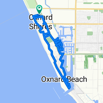
1641 Mandalay Beach Rd, Oxnard to S Ventura Rd, Port Hueneme
A cycling route starting in Oxnard Shores, California, United States.
Overview
About this route
- 1 h 5 min
- Duration
- 15.1 km
- Distance
- 3 m
- Ascent
- 10 m
- Descent
- 13.9 km/h
- Avg. speed
- ---
- Max. altitude

Continue with Bikemap
Use, edit, or download this cycling route
You would like to ride 1641 Mandalay Beach Rd, Oxnard to S Ventura Rd, Port Hueneme or customize it for your own trip? Here is what you can do with this Bikemap route:
Free features
- Save this route as favorite or in collections
- Copy & plan your own version of this route
- Sync your route with Garmin or Wahoo
Premium features
Free trial for 3 days, or one-time payment. More about Bikemap Premium.
- Navigate this route on iOS & Android
- Export a GPX / KML file of this route
- Create your custom printout (try it for free)
- Download this route for offline navigation
Discover more Premium features.
Get Bikemap PremiumFrom our community
Other popular routes starting in Oxnard Shores
 Harbor Boulevard 1601, Oxnard to Harbor Boulevard 4200, Oxnard
- Distance
- 4 km
- Ascent
- 10 m
- Descent
- 8 m
- Location
- Oxnard Shores, California, United States
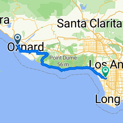 2211 Harbor Blvd, Oxnard nach 5858 Arbor Vitae St, Los Angeles
- Distance
- 115.5 km
- Ascent
- 1,616 m
- Descent
- 1,588 m
- Location
- Oxnard Shores, California, United States
 1641 Mandalay Beach Rd, Oxnard to S Ventura Rd, Port Hueneme
- Distance
- 15.1 km
- Ascent
- 3 m
- Descent
- 10 m
- Location
- Oxnard Shores, California, United States
 1730 S Victoria Ave, Oxnard to 3700 Ketch Ave, Oxnard
- Distance
- 4 km
- Ascent
- 0 m
- Descent
- 4 m
- Location
- Oxnard Shores, California, United States
 Breakers Way 5248, Oxnard to Reef Way 5249, Oxnard
- Distance
- 13.1 km
- Ascent
- 4 m
- Descent
- 4 m
- Location
- Oxnard Shores, California, United States
 Reef Way 5249, Oxnard to Reef Way 5249, Oxnard
- Distance
- 16.2 km
- Ascent
- 5 m
- Descent
- 5 m
- Location
- Oxnard Shores, California, United States
 Home to JSL - Pacific Ave Office
- Distance
- 8.4 km
- Ascent
- 13 m
- Descent
- 0 m
- Location
- Oxnard Shores, California, United States
 Oxnard to Santa Barbara to Oxnard
- Distance
- 117.3 km
- Ascent
- 472 m
- Descent
- 474 m
- Location
- Oxnard Shores, California, United States
Open it in the app