

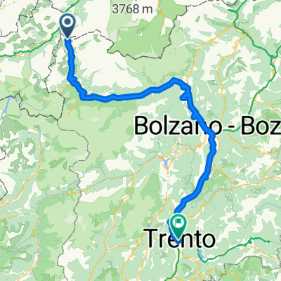
Etschtal-Radweg Reschen-Trient (Via Claudia Aug)
A cycling route starting in Graun im Vinschgau, Trentino-Alto Adige, Italy.
Overview
About this route
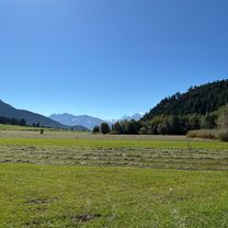
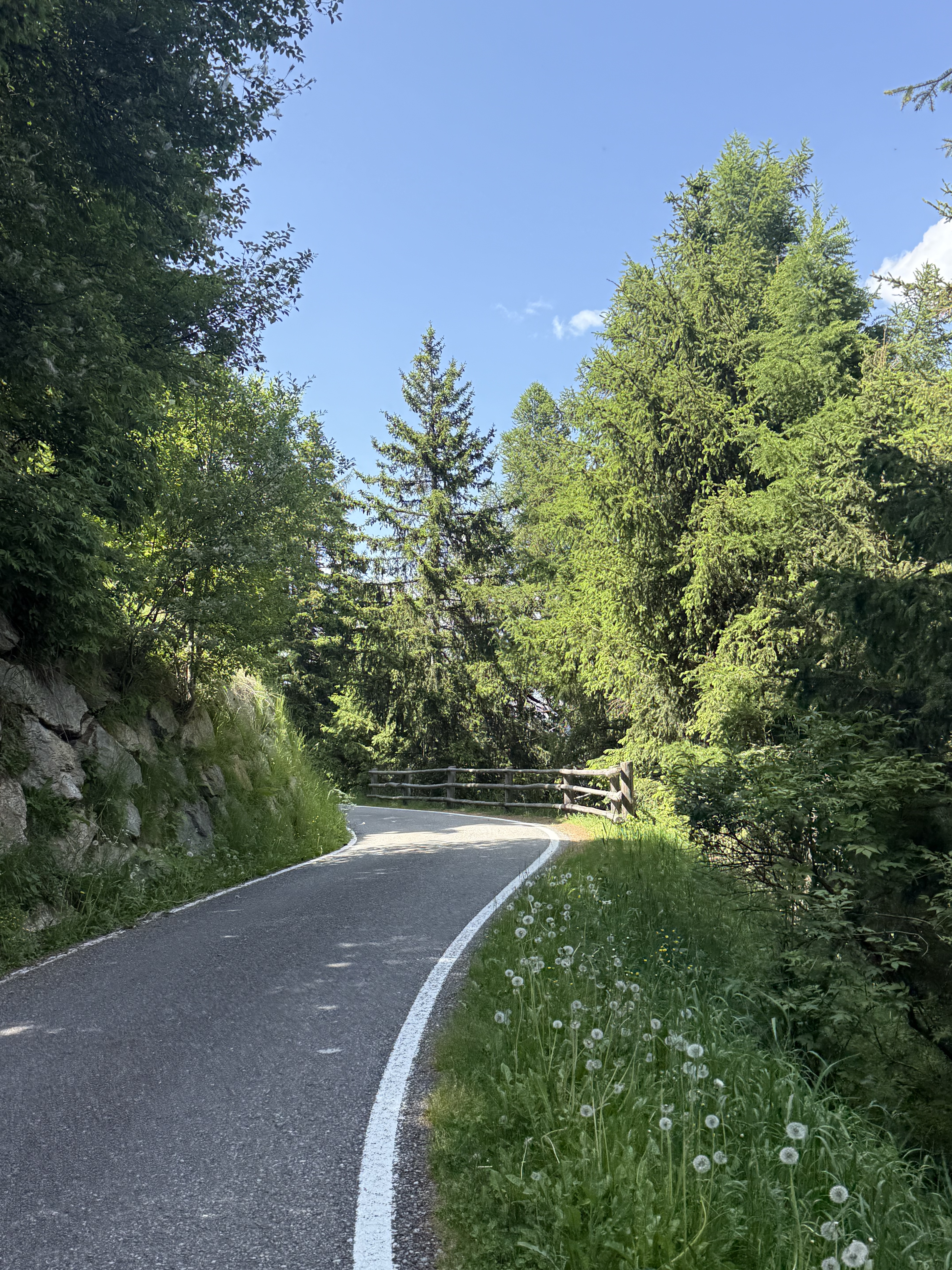
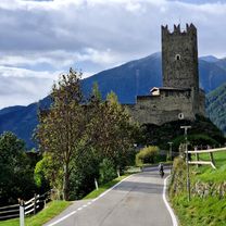
This tour through the beautiful landscapes of South Tyrol and Trentino, past endless apple orchards and well-maintained vineyards, is pure cycling enjoyment. Always along the Etsch, the terrain is naturally always downhill. (Tour description at: thod_er@gmx.de)
- -:--
- Duration
- 181.7 km
- Distance
- 0 m
- Ascent
- 0 m
- Descent
- ---
- Avg. speed
- 0 m
- Max. altitude
Route quality
Waytypes & surfaces along the route
Waytypes
Cycleway
70.9 km
(39 %)
Quiet road
49.1 km
(27 %)
Surfaces
Paved
154.4 km
(85 %)
Unpaved
7.3 km
(4 %)
Asphalt
152.6 km
(84 %)
Loose gravel
5.5 km
(3 %)
Continue with Bikemap
Use, edit, or download this cycling route
You would like to ride Etschtal-Radweg Reschen-Trient (Via Claudia Aug) or customize it for your own trip? Here is what you can do with this Bikemap route:
Free features
- Save this route as favorite or in collections
- Copy & plan your own version of this route
- Split it into stages to create a multi-day tour
- Sync your route with Garmin or Wahoo
Premium features
Free trial for 3 days, or one-time payment. More about Bikemap Premium.
- Navigate this route on iOS & Android
- Export a GPX / KML file of this route
- Create your custom printout (try it for free)
- Download this route for offline navigation
Discover more Premium features.
Get Bikemap PremiumFrom our community
Other popular routes starting in Graun im Vinschgau
 Umrundung Reschensee und Heidersee
- Distance
- 24.9 km
- Ascent
- 234 m
- Descent
- 229 m
- Location
- Graun im Vinschgau, Trentino-Alto Adige, Italy
 Runde - Reschensee und Heidersee mit lecker Stopp beim Zenner
- Distance
- 22.6 km
- Ascent
- 216 m
- Descent
- 212 m
- Location
- Graun im Vinschgau, Trentino-Alto Adige, Italy
 Melag bis Moseben und zurück mit Gravelbike
- Distance
- 23.6 km
- Ascent
- 689 m
- Descent
- 697 m
- Location
- Graun im Vinschgau, Trentino-Alto Adige, Italy
 Via Paese Vecchio - Waldbodenweg
- Distance
- 18.3 km
- Ascent
- 125 m
- Descent
- 137 m
- Location
- Graun im Vinschgau, Trentino-Alto Adige, Italy
 Reg.Reschensee-Obervinschgau - Meran
- Distance
- 73.5 km
- Ascent
- 467 m
- Descent
- 1,626 m
- Location
- Graun im Vinschgau, Trentino-Alto Adige, Italy
 Reschensee Nauders
- Distance
- 36.9 km
- Ascent
- 530 m
- Descent
- 527 m
- Location
- Graun im Vinschgau, Trentino-Alto Adige, Italy
 Tag 5: Bergab durch Südtirol
- Distance
- 122.6 km
- Ascent
- 310 m
- Descent
- 1,609 m
- Location
- Graun im Vinschgau, Trentino-Alto Adige, Italy
 leg 2 final
- Distance
- 196.3 km
- Ascent
- 1,074 m
- Descent
- 2,384 m
- Location
- Graun im Vinschgau, Trentino-Alto Adige, Italy
Open it in the app