

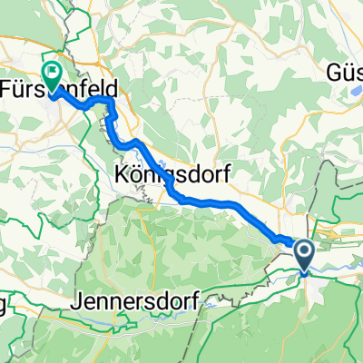
Szentgotthárd - Csákánydoroszló
A cycling route starting in Szentgotthárd, Vas County, Hungary.
Overview
About this route
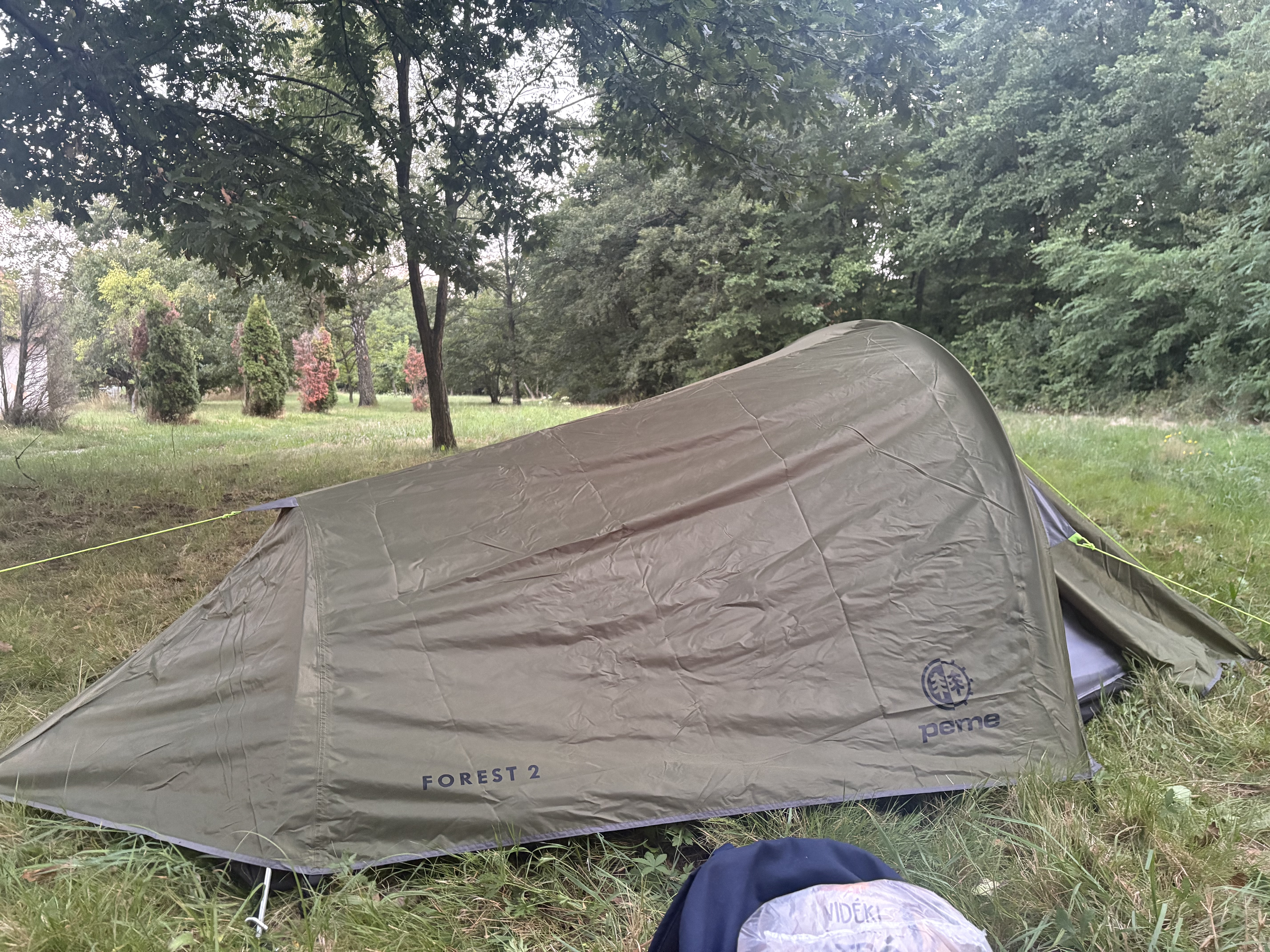
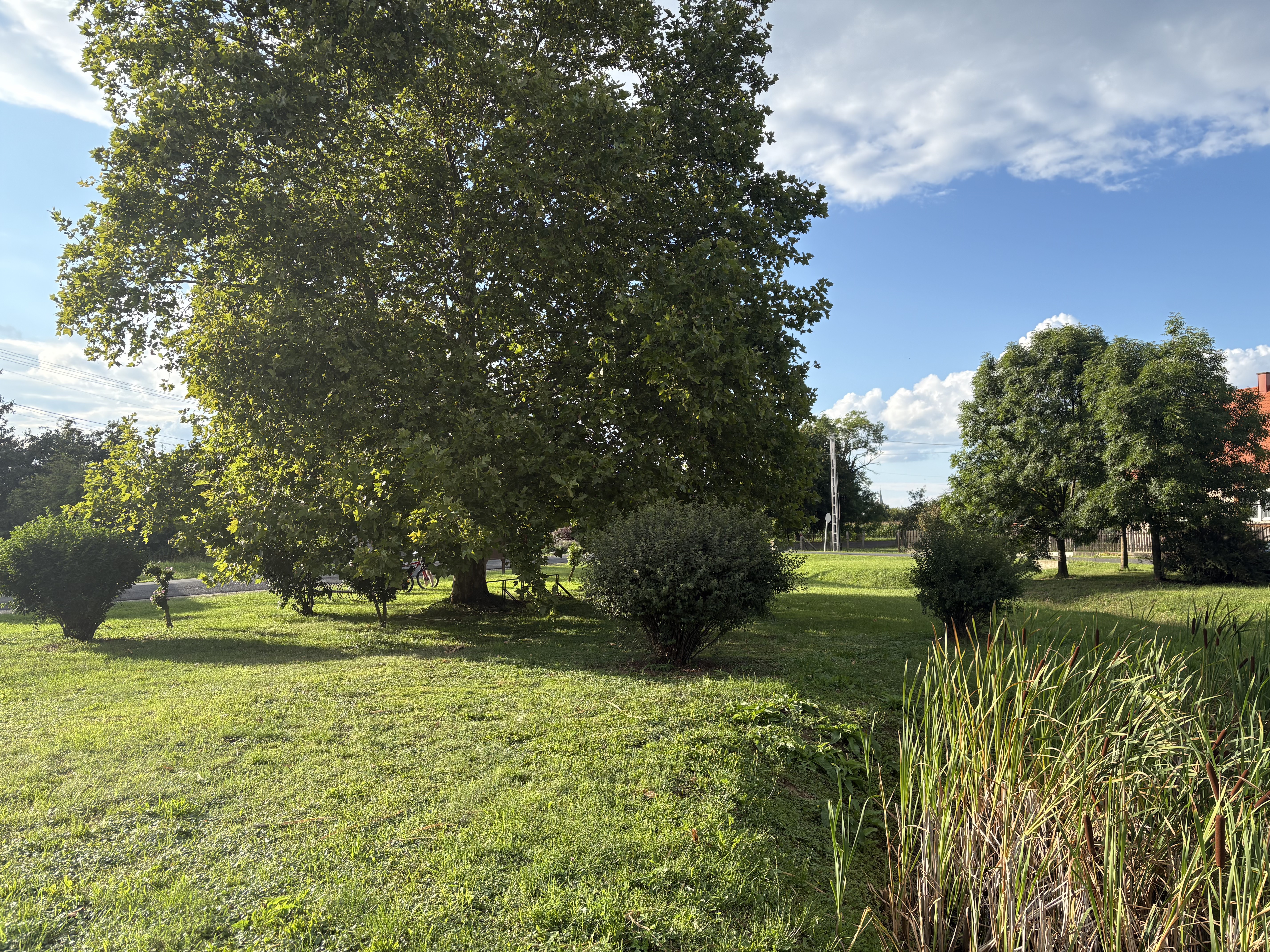
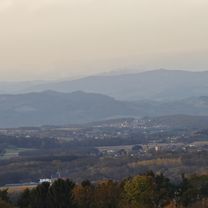
From Szentgotthárd through Őrség National Park to Csákánydoroszló.
From Csákánydoroszló to Szentgotthárd by train.
- -:--
- Duration
- 60.4 km
- Distance
- 341 m
- Ascent
- 360 m
- Descent
- ---
- Avg. speed
- ---
- Max. altitude

Route quality
Waytypes & surfaces along the route
Waytypes
Track
10.3 km
(17 %)
Road
7.9 km
(13 %)
Surfaces
Paved
41.7 km
(69 %)
Unpaved
4.2 km
(7 %)
Asphalt
39.3 km
(65 %)
Gravel
3.6 km
(6 %)
Continue with Bikemap
Use, edit, or download this cycling route
You would like to ride Szentgotthárd - Csákánydoroszló or customize it for your own trip? Here is what you can do with this Bikemap route:
Free features
- Save this route as favorite or in collections
- Copy & plan your own version of this route
- Sync your route with Garmin or Wahoo
Premium features
Free trial for 3 days, or one-time payment. More about Bikemap Premium.
- Navigate this route on iOS & Android
- Export a GPX / KML file of this route
- Create your custom printout (try it for free)
- Download this route for offline navigation
Discover more Premium features.
Get Bikemap PremiumFrom our community
Other popular routes starting in Szentgotthárd
 Bethlen Gábor utca, Szentgotthárd - Sümeg-Keszthely(Országos Kéktúra Szakasz), Keszthely
- Distance
- 120.2 km
- Ascent
- 754 m
- Descent
- 853 m
- Location
- Szentgotthárd, Vas County, Hungary
 Bethlen Gábor utca, Szentgotthárd - Fő utca, Badacsonytomaj
- Distance
- 153.5 km
- Ascent
- 881 m
- Descent
- 1,010 m
- Location
- Szentgotthárd, Vas County, Hungary
 Bethlen Gábor utca, Szentgotthárd - Petőmihályfa
- Distance
- 56.3 km
- Ascent
- 267 m
- Descent
- 263 m
- Location
- Szentgotthárd, Vas County, Hungary
 Route from Szentgotthárd
- Distance
- 25 km
- Ascent
- 67 m
- Descent
- 23 m
- Location
- Szentgotthárd, Vas County, Hungary
 Bethlen Gábor utca, Szentgotthárd - Bethlen Gábor utca, Szentgotthárd
- Distance
- 156.1 km
- Ascent
- 1,103 m
- Descent
- 1,096 m
- Location
- Szentgotthárd, Vas County, Hungary
 Heiligenbrunn Güssing
- Distance
- 60.8 km
- Ascent
- 460 m
- Descent
- 454 m
- Location
- Szentgotthárd, Vas County, Hungary
 Bethlen utca - Bethlen utca
- Distance
- 73.3 km
- Ascent
- 489 m
- Descent
- 542 m
- Location
- Szentgotthárd, Vas County, Hungary
 Bethlen Gábor utca, Szentgotthárd - Frutten, Straden
- Distance
- 39.5 km
- Ascent
- 514 m
- Descent
- 268 m
- Location
- Szentgotthárd, Vas County, Hungary
Open it in the app