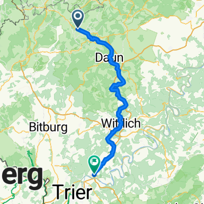
Eifel Rundtour sportlich
EifelSport E3 Hillesheim-Bitburg
A cycling route starting in Hillesheim, Rhineland-Palatinate, Germany.
Overview
About this route
Augustinerplatz-Konrad-Adenauer-Platz/AmMarkt
- -:--
- Duration
- 50.8 km
- Distance
- 294 m
- Ascent
- 400 m
- Descent
- ---
- Avg. speed
- ---
- Max. altitude
Part of
Eifel Rundtour sportlich
7 stages
Route quality
Waytypes & surfaces along the route
Waytypes
Path
14.2 km
(28 %)
Road
8.6 km
(17 %)
Surfaces
Paved
46.2 km
(91 %)
Unpaved
1.5 km
(3 %)
Asphalt
43.7 km
(86 %)
Paved (undefined)
2.5 km
(5 %)
Continue with Bikemap
Use, edit, or download this cycling route
You would like to ride EifelSport E3 Hillesheim-Bitburg or customize it for your own trip? Here is what you can do with this Bikemap route:
Free features
- Save this route as favorite or in collections
- Copy & plan your own version of this route
- Sync your route with Garmin or Wahoo
Premium features
Free trial for 3 days, or one-time payment. More about Bikemap Premium.
- Navigate this route on iOS & Android
- Export a GPX / KML file of this route
- Create your custom printout (try it for free)
- Download this route for offline navigation
Discover more Premium features.
Get Bikemap PremiumFrom our community
Other popular routes starting in Hillesheim
- EifelSport E3 Hillesheim-Bitburg
- Distance
- 50.8 km
- Ascent
- 294 m
- Descent
- 400 m
- Location
- Hillesheim, Rhineland-Palatinate, Germany
- Am Rosenberg 2, Hillesheim nach Andreas-Girkens-Straße 19, Mechernich
- Distance
- 52.7 km
- Ascent
- 641 m
- Descent
- 816 m
- Location
- Hillesheim, Rhineland-Palatinate, Germany
- Rund um Dollendorf
- Distance
- 70.7 km
- Ascent
- 1,147 m
- Descent
- 1,119 m
- Location
- Hillesheim, Rhineland-Palatinate, Germany
- Am Sportpark 1, Hillesheim to Margarethenstraße 4, Hillesheim
- Distance
- 2.2 km
- Ascent
- 0 m
- Descent
- 42 m
- Location
- Hillesheim, Rhineland-Palatinate, Germany
- Hillesheim nach Blankenheimerdorf(Blankenheim)
- Distance
- 38.3 km
- Ascent
- 314 m
- Descent
- 268 m
- Location
- Hillesheim, Rhineland-Palatinate, Germany
- Von Hillesheim bis Schweich
- Distance
- 87 km
- Ascent
- 943 m
- Descent
- 1,256 m
- Location
- Hillesheim, Rhineland-Palatinate, Germany
- Kylltalradweg Hillesheim - Trier
- Distance
- 90.6 km
- Ascent
- 568 m
- Descent
- 830 m
- Location
- Hillesheim, Rhineland-Palatinate, Germany
- Hillesheimer Runde
- Distance
- 59.2 km
- Ascent
- 723 m
- Descent
- 723 m
- Location
- Hillesheim, Rhineland-Palatinate, Germany
Open it in the app