
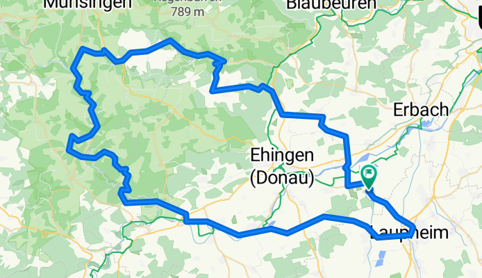
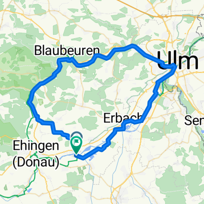
Rund über die Schwäbische Alb (Lautertal) CLONED FROM ROUTE 138997
A cycling route starting in Öpfingen, Baden-Württemberg, Germany.
Overview
About this route
Tour mit ca. 100 km länge, über zahlreiche kleinere und etwas größere Anstiege auf der Alb. Meist wird auf normalen Straßen gefahren. Jedoch sind diese mit Ausnahme Lautertal eher wenig befahren.
- -:--
- Duration
- 102.4 km
- Distance
- 933 m
- Ascent
- 931 m
- Descent
- ---
- Avg. speed
- ---
- Max. altitude
Route quality
Waytypes & surfaces along the route
Waytypes
Busy road
40.4 km
(39 %)
Road
31.2 km
(31 %)
Surfaces
Paved
63.1 km
(62 %)
Unpaved
8 km
(8 %)
Asphalt
62.6 km
(61 %)
Gravel
5 km
(5 %)
Route highlights
Points of interest along the route
Point of interest after 97.3 km
Continue with Bikemap
Use, edit, or download this cycling route
You would like to ride Rund über die Schwäbische Alb (Lautertal) CLONED FROM ROUTE 138997 or customize it for your own trip? Here is what you can do with this Bikemap route:
Free features
- Save this route as favorite or in collections
- Copy & plan your own version of this route
- Split it into stages to create a multi-day tour
- Sync your route with Garmin or Wahoo
Premium features
Free trial for 3 days, or one-time payment. More about Bikemap Premium.
- Navigate this route on iOS & Android
- Export a GPX / KML file of this route
- Create your custom printout (try it for free)
- Download this route for offline navigation
Discover more Premium features.
Get Bikemap PremiumFrom our community
Other popular routes starting in Öpfingen
 Rund über die Schwäbische Alb (Lautertal) CLONED FROM ROUTE 138997
- Distance
- 102.4 km
- Ascent
- 933 m
- Descent
- 931 m
- Location
- Öpfingen, Baden-Württemberg, Germany
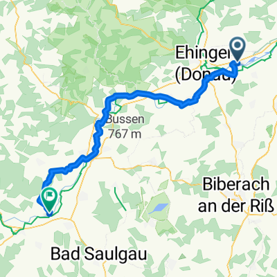
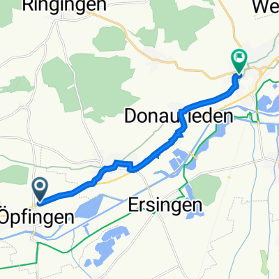 Ehinger Straße 40, Öpfingen nach Bergstraße 19, Erbach
- Distance
- 8.2 km
- Ascent
- 77 m
- Descent
- 114 m
- Location
- Öpfingen, Baden-Württemberg, Germany
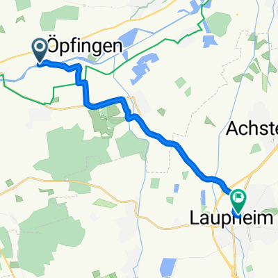
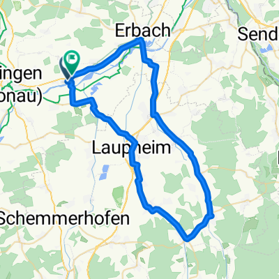 Öpf. Laupheim-Erbach
- Distance
- 53.3 km
- Ascent
- 159 m
- Descent
- 138 m
- Location
- Öpfingen, Baden-Württemberg, Germany
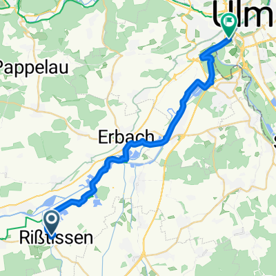 Rißtissen (Donauseen) nach Ulm
- Distance
- 23.6 km
- Ascent
- 16 m
- Descent
- 30 m
- Location
- Öpfingen, Baden-Württemberg, Germany
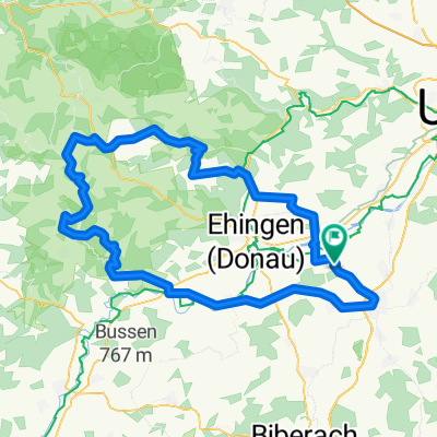
 Öpfingen Hundersingen
- Distance
- 56.4 km
- Ascent
- 493 m
- Descent
- 438 m
- Location
- Öpfingen, Baden-Württemberg, Germany
 Gemütliche Route in Erbach an der Donau
- Distance
- 9.7 km
- Ascent
- 178 m
- Descent
- 110 m
- Location
- Öpfingen, Baden-Württemberg, Germany
 oepfingen-blaubeuren-ulm-oepfingen
- Distance
- 63.3 km
- Ascent
- 175 m
- Descent
- 208 m
- Location
- Öpfingen, Baden-Württemberg, Germany
 Route nach Schillerstraße 13, Laupheim
- Distance
- 11.9 km
- Ascent
- 382 m
- Descent
- 355 m
- Location
- Öpfingen, Baden-Württemberg, Germany
Open it in the app