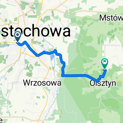
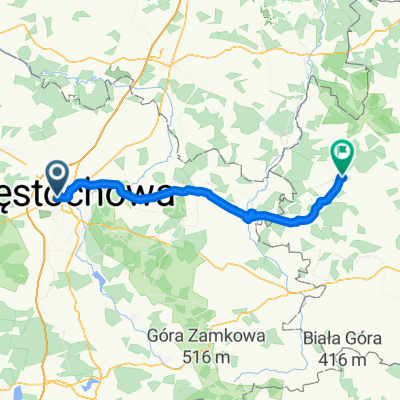
CZWA-Kraków
- 160.8 km
- 770 m
- 808 m
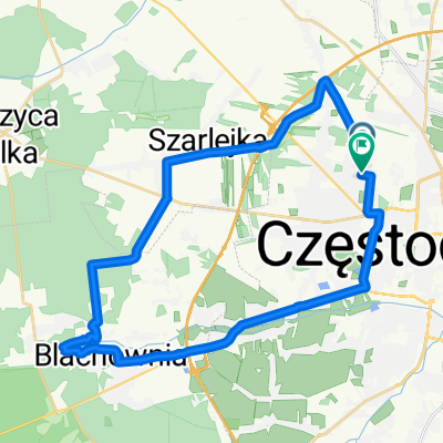
- Częstochowa, Silesian Voivodeship, Poland
A cycling route starting in Częstochowa, Silesian Voivodeship, Poland.
Overview
Diverse route, fields, meadows, forests, national roads
created this 4 years ago


Route quality
Road
16.1 km
(32 %)
Quiet road
15.1 km
(30 %)
Paved
22.2 km
(44 %)
Unpaved
10.6 km
(21 %)
Asphalt
21.7 km
(43 %)
Ground
5.5 km
(11 %)
Continue with Bikemap
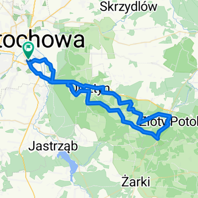
You would like to ride Częstochowa - Olsztyn - Słowik - Częstochowa or customize it for your own trip? Here is what you can do with this Bikemap route:
Free trial for 3 days, or one-time payment. More about Bikemap Premium.
Discover more Premium features.
Get Bikemap PremiumFrom our community
Open it in the app