Fekete Körörs gát-túra
- 46.3 km
- 51 m
- 51 m
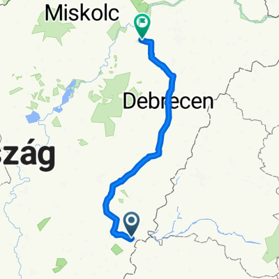
- Gyula, Bekes County, Hungary
A cycling route starting in Gyula, Bekes County, Hungary.
Overview
Gyula - Fényes - Békéscsaba - Szanazug - Városerdő - Gyula
created this 4 years ago
Route quality
Cycleway
18.1 km
(39 %)
Quiet road
14.4 km
(31 %)
Paved
25.1 km
(54 %)
Unpaved
4.6 km
(10 %)
Asphalt
22.8 km
(49 %)
Gravel
4.6 km
(10 %)
Continue with Bikemap
You would like to ride Útokon és gátokon or customize it for your own trip? Here is what you can do with this Bikemap route:
Free trial for 3 days, or one-time payment. More about Bikemap Premium.
Discover more Premium features.
Get Bikemap PremiumFrom our community
Open it in the app