Route zu Regionalmuseum Im Schloss Zu Bad Frankenhausen
- 21.2 km
- 58 m
- 144 m
- Sondershausen, Thuringia, Germany
A cycling route starting in Sondershausen, Thuringia, Germany.
Overview
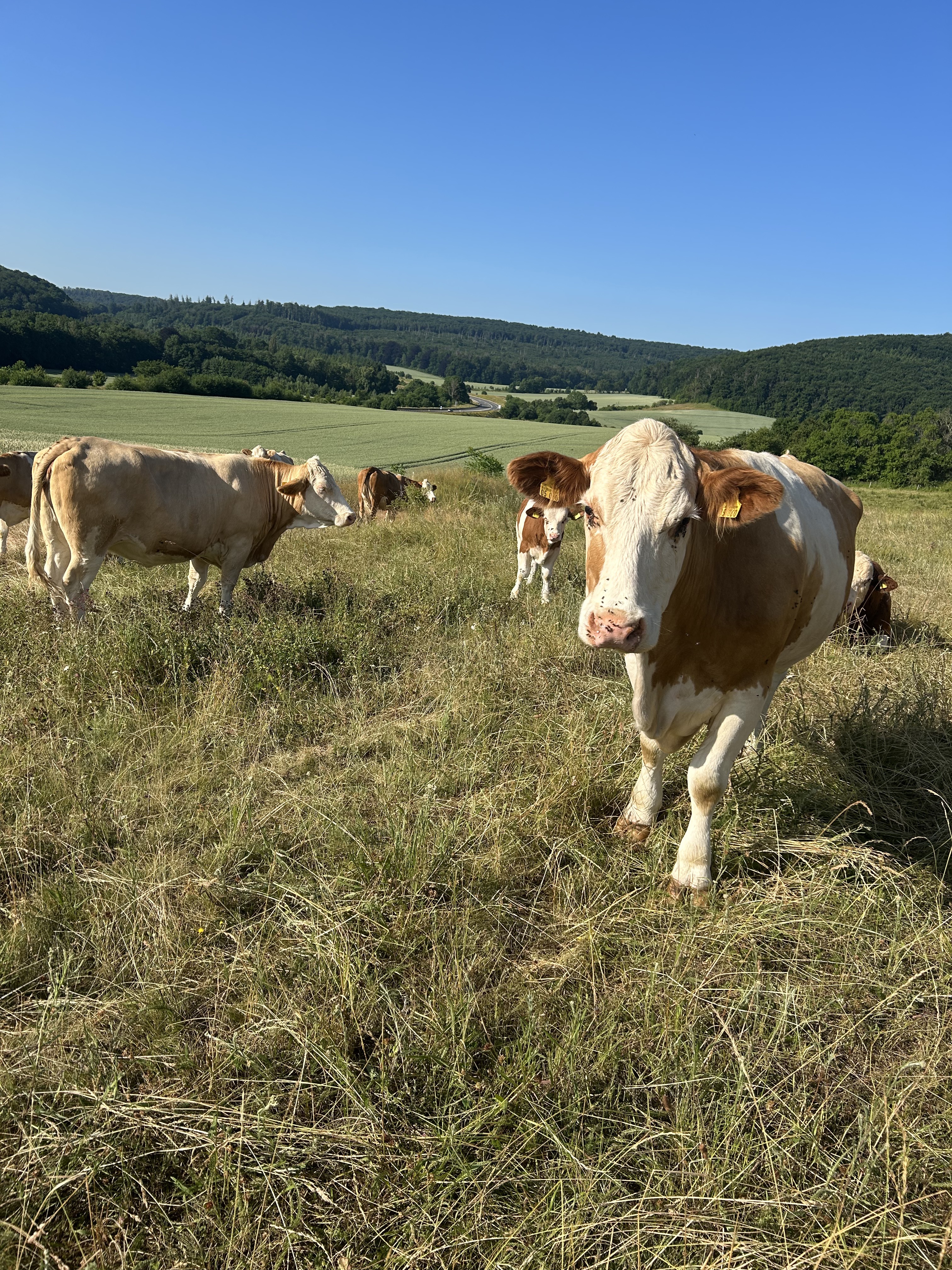
Through the picturesque forests of Hainleite, the 3 highest elevations in the area, Frauenberg, Straußberg, and Possen, are cycled. Moderate difficulty.
created this 18 years ago
Continue with Bikemap
You would like to ride 3-Hügel-Rundflug or customize it for your own trip? Here is what you can do with this Bikemap route:
Free trial for 3 days, or one-time payment. More about Bikemap Premium.
Discover more Premium features.
Get Bikemap PremiumFrom our community
Open it in the app