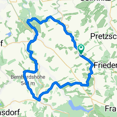
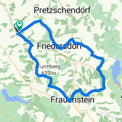
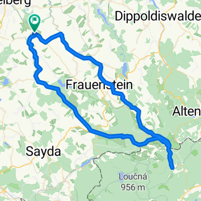
WZG 3 final mit Schlafstops aller 75km
A cycling route starting in Lichtenberg, Saxony, Germany.
Overview
About this route
- -:--
- Duration
- 309.8 km
- Distance
- 1,470 m
- Ascent
- 1,402 m
- Descent
- ---
- Avg. speed
- ---
- Max. altitude
Route quality
Waytypes & surfaces along the route
Waytypes
Quiet road
105.9 km
(34 %)
Track
56.6 km
(18 %)
Surfaces
Paved
242.2 km
(78 %)
Unpaved
34.4 km
(11 %)
Asphalt
225.2 km
(73 %)
Gravel
21.8 km
(7 %)
Continue with Bikemap
Use, edit, or download this cycling route
You would like to ride WZG 3 final mit Schlafstops aller 75km or customize it for your own trip? Here is what you can do with this Bikemap route:
Free features
- Save this route as favorite or in collections
- Copy & plan your own version of this route
- Split it into stages to create a multi-day tour
- Sync your route with Garmin or Wahoo
Premium features
Free trial for 3 days, or one-time payment. More about Bikemap Premium.
- Navigate this route on iOS & Android
- Export a GPX / KML file of this route
- Create your custom printout (try it for free)
- Download this route for offline navigation
Discover more Premium features.
Get Bikemap PremiumFrom our community
Other popular routes starting in Lichtenberg
- Bäche - Teiche - Mühlen
- Distance
- 45.5 km
- Ascent
- 506 m
- Descent
- 460 m
- Location
- Lichtenberg, Saxony, Germany
- Rund um die Talsperre Lichtenberg
- Distance
- 31 km
- Ascent
- 454 m
- Descent
- 455 m
- Location
- Lichtenberg, Saxony, Germany
- Route nach Pretzschendorfer Straße 6, 09627 Bobritzsch-Hilbersdorf
- Distance
- 37.2 km
- Ascent
- 499 m
- Descent
- 507 m
- Location
- Lichtenberg, Saxony, Germany
- WZG 3 final mit Schlafstops aller 75km
- Distance
- 309.8 km
- Ascent
- 1,470 m
- Descent
- 1,402 m
- Location
- Lichtenberg, Saxony, Germany
- Nove Mesto.gpx
- Distance
- 79.6 km
- Ascent
- 597 m
- Descent
- 595 m
- Location
- Lichtenberg, Saxony, Germany
- S184 9, Weißenborn/Erzgebirge nach Untere Dorfstraße 15b, Hartmannsdorf-Reichenau
- Distance
- 18.6 km
- Ascent
- 493 m
- Descent
- 271 m
- Location
- Lichtenberg, Saxony, Germany
- ET2014_1. Etappe
- Distance
- 29.7 km
- Ascent
- 367 m
- Descent
- 414 m
- Location
- Lichtenberg, Saxony, Germany
- tour 220319 auf alten gleisen
- Distance
- 52.5 km
- Ascent
- 760 m
- Descent
- 762 m
- Location
- Lichtenberg, Saxony, Germany
Open it in the app