Soulcem AR
- 98.4 km
- 1,429 m
- 1,435 m
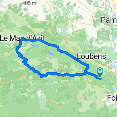
- Foix, Occitanie, France
Medium Mountain Stage;
-1st Cat.; km10 (20km at 4,5%);
-2nd Cat.; km82,5 (6,5km at 6,1%);
-1st Cat.; km93,5 (10km at 6,9%);
-1st Cat.; km133 (8km at 7,1%) [downhill until finish line];
Road
45.2 km30 %Quiet road
21.1 km14 %Paved
123.6 km(82 %)Asphalt
123.6 km82 %Undefined
27.1 km18 %Free trial for 3 days, or one-time payment. More about Bikemap Premium.
Discover more Premium features.
Get Bikemap PremiumOpen it in the app