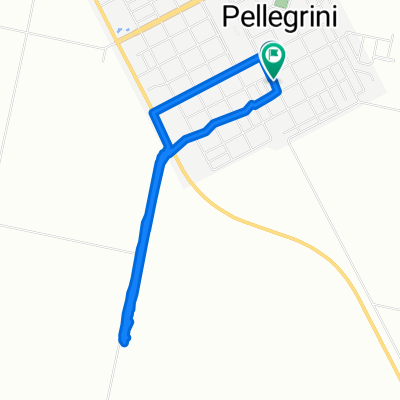
De Dorrego 313, El Trebol a Argentina, El Trebol
A cycling route starting in El Trébol, Santa Fe Province, Argentina.
Overview
About this route
- 49 min
- Duration
- 9.4 km
- Distance
- 20 m
- Ascent
- 21 m
- Descent
- 11.5 km/h
- Avg. speed
- ---
- Max. altitude
Route photos
Route quality
Waytypes & surfaces along the route
Waytypes
Busy road
8.2 km
(87 %)
Quiet road
1.3 km
(13 %)
Undefined
0 km
(<1 %)
Surfaces
Paved
7.1 km
(75 %)
Paved (undefined)
5.3 km
(57 %)
Asphalt
1.7 km
(18 %)
Undefined
2.4 km
(25 %)
Continue with Bikemap
Use, edit, or download this cycling route
You would like to ride De Dorrego 313, El Trebol a Argentina, El Trebol or customize it for your own trip? Here is what you can do with this Bikemap route:
Free features
- Save this route as favorite or in collections
- Copy & plan your own version of this route
- Sync your route with Garmin or Wahoo
Premium features
Free trial for 3 days, or one-time payment. More about Bikemap Premium.
- Navigate this route on iOS & Android
- Export a GPX / KML file of this route
- Create your custom printout (try it for free)
- Download this route for offline navigation
Discover more Premium features.
Get Bikemap PremiumFrom our community
Other popular routes starting in El Trébol
- De Dorrego 313, El Trebol a Argentina, El Trebol
- Distance
- 9.4 km
- Ascent
- 20 m
- Descent
- 21 m
- Location
- El Trébol, Santa Fe Province, Argentina
- ruta primera
- Distance
- 10 km
- Ascent
- 11 m
- Descent
- 30 m
- Location
- El Trébol, Santa Fe Province, Argentina
- Paseo intenso en Carlos Pellegrini
- Distance
- 6.4 km
- Ascent
- 74 m
- Descent
- 72 m
- Location
- El Trébol, Santa Fe Province, Argentina
- De Calle Rosario 1017, El Trebol a Calle Rosario 1017, El Trebol
- Distance
- 16.8 km
- Ascent
- 43 m
- Descent
- 14 m
- Location
- El Trébol, Santa Fe Province, Argentina
- Jujuy 101–199, San MartÃn a Jujuy 101–199, San MartÃn
- Distance
- 9.7 km
- Ascent
- 56 m
- Descent
- 48 m
- Location
- El Trébol, Santa Fe Province, Argentina
- De Santa Fe a General Lopez
- Distance
- 7.2 km
- Ascent
- 3 m
- Descent
- 21 m
- Location
- El Trébol, Santa Fe Province, Argentina
- Ruta constante en Carlos Pellegrini
- Distance
- 12.7 km
- Ascent
- 229 m
- Descent
- 224 m
- Location
- El Trébol, Santa Fe Province, Argentina
- De General Lopez a General Lopez
- Distance
- 6.7 km
- Ascent
- 3 m
- Descent
- 20 m
- Location
- El Trébol, Santa Fe Province, Argentina
Open it in the app