

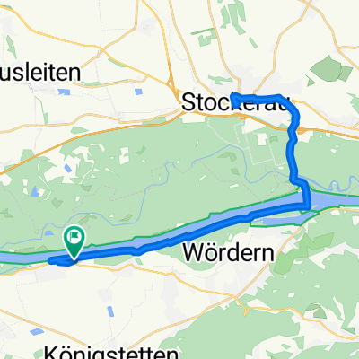
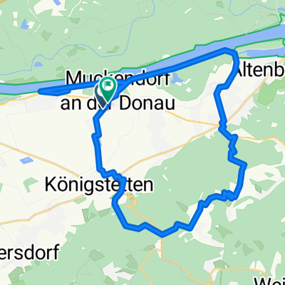
Hängender Stein-Strecke
A cycling route starting in Königstetten, Lower Austria, Austria.
Overview
About this route
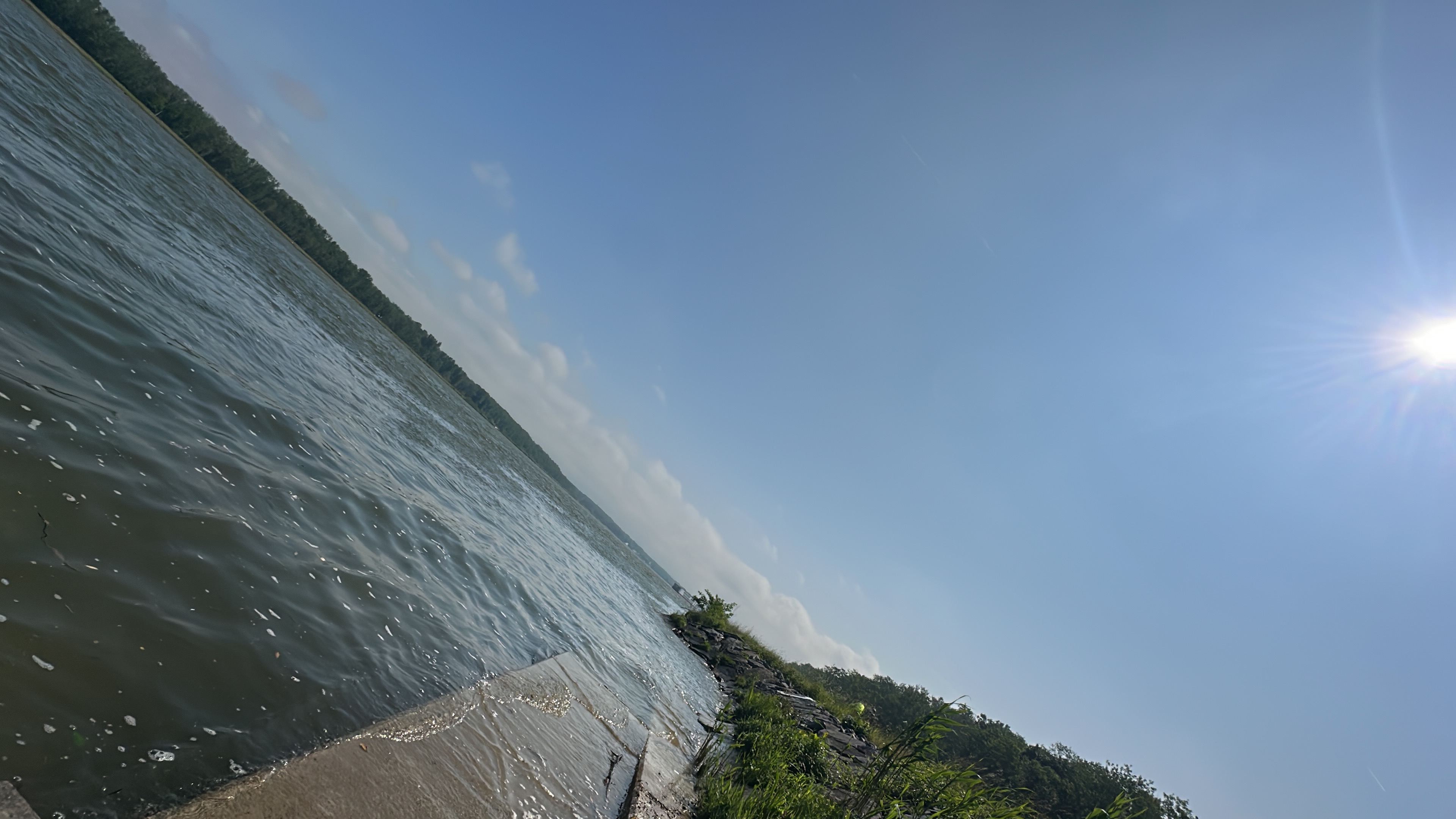
A beautiful and exciting circular tour for leisure.
- -:--
- Duration
- 17.4 km
- Distance
- 341 m
- Ascent
- 344 m
- Descent
- ---
- Avg. speed
- ---
- Max. altitude
Route quality
Waytypes & surfaces along the route
Waytypes
Track
8.5 km
(49 %)
Road
4 km
(23 %)
Surfaces
Paved
7.8 km
(45 %)
Unpaved
4.7 km
(27 %)
Asphalt
7.7 km
(44 %)
Gravel
4.7 km
(27 %)
Continue with Bikemap
Use, edit, or download this cycling route
You would like to ride Hängender Stein-Strecke or customize it for your own trip? Here is what you can do with this Bikemap route:
Free features
- Save this route as favorite or in collections
- Copy & plan your own version of this route
- Sync your route with Garmin or Wahoo
Premium features
Free trial for 3 days, or one-time payment. More about Bikemap Premium.
- Navigate this route on iOS & Android
- Export a GPX / KML file of this route
- Create your custom printout (try it for free)
- Download this route for offline navigation
Discover more Premium features.
Get Bikemap PremiumFrom our community
Other popular routes starting in Königstetten
 Teststrecke Königsstetten Dopplerhütte
- Distance
- 2.9 km
- Ascent
- 231 m
- Descent
- 74 m
- Location
- Königstetten, Lower Austria, Austria
 Lale - Stockerau
- Distance
- 35.6 km
- Ascent
- 73 m
- Descent
- 71 m
- Location
- Königstetten, Lower Austria, Austria
 Muckendorf -Königstetten -Dopplerhütte Hintersdorf-Muckendorf
- Distance
- 36.4 km
- Ascent
- 425 m
- Descent
- 426 m
- Location
- Königstetten, Lower Austria, Austria
 Mitterweg, Königstetten nach Joseph-Haydn-Gasse, Königstetten
- Distance
- 30 km
- Ascent
- 55 m
- Descent
- 45 m
- Location
- Königstetten, Lower Austria, Austria
 Hängender Stein-Strecke
- Distance
- 17.4 km
- Ascent
- 341 m
- Descent
- 344 m
- Location
- Königstetten, Lower Austria, Austria
 tulln greifenstein donaurunde
- Distance
- 33 km
- Ascent
- 42 m
- Descent
- 40 m
- Location
- Königstetten, Lower Austria, Austria
 Reserl-Andi Runde!
- Distance
- 64.7 km
- Ascent
- 572 m
- Descent
- 573 m
- Location
- Königstetten, Lower Austria, Austria
 Wien - Mauerbach - Wipfing - Klosterneuburg
- Distance
- 54.9 km
- Ascent
- 389 m
- Descent
- 390 m
- Location
- Königstetten, Lower Austria, Austria
Open it in the app