- 211.6 km
- 770 m
- 1,131 m
- Olbernhau, Saxony, Germany
Ohau-OstERZ-Elbsandstein-DD-Meißen-FG-Ohau
A cycling route starting in Olbernhau, Saxony, Germany.
Overview
About this route
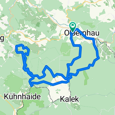
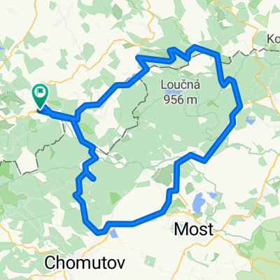
Beautiful Sunday training ride through half of Saxony. Olbernhau > Heidersdorf > Neuhausen > Rauschenbach Talsperre > Deutschgeorgenthal > Talsperre Flaje > Nove Mesto > Cinnovec > Zinnwald > Geising > Liebenau > Bahratal > Raum > Bielatal > Königstein > Stadt Wehlen > Pirna > Graupa > Pillnitz > Dresden > Meißen > Siebeneichen > Wilsdruff > Tanneberg > Neukirchen > Helbigsdorf > Mohorn > Niederschöna > Freiberg (& Stadtrund) > Brand-Erbisdorf > Großhartmannsdorf > Obersaida > Dörnthal > Voigtsdorfer Höhe > Ullersdorf > Pfaffroda-Schönfeld > Olbernhau. Many sights along the way. The Elbe is flat - otherwise very hilly.
- -:--
- Duration
- 258.2 km
- Distance
- 2,767 m
- Ascent
- 2,791 m
- Descent
- ---
- Avg. speed
- 880 m
- Max. altitude
created this 17 years ago
Route quality
Waytypes & surfaces along the route
Waytypes
Road
43.9 km
(17 %)
Quiet road
33.6 km
(13 %)
Surfaces
Paved
188.5 km
(73 %)
Unpaved
10.3 km
(4 %)
Asphalt
180.7 km
(70 %)
Paved (undefined)
5.2 km
(2 %)
Continue with Bikemap
Use, edit, or download this cycling route
You would like to ride Ohau-OstERZ-Elbsandstein-DD-Meißen-FG-Ohau or customize it for your own trip? Here is what you can do with this Bikemap route:
Free features
- Save this route as favorite or in collections
- Copy & plan your own version of this route
- Split it into stages to create a multi-day tour
- Sync your route with Garmin or Wahoo
Premium features
Free trial for 3 days, or one-time payment. More about Bikemap Premium.
- Navigate this route on iOS & Android
- Export a GPX / KML file of this route
- Create your custom printout (try it for free)
- Download this route for offline navigation
Discover more Premium features.
Get Bikemap PremiumFrom our community
Other popular routes starting in Olbernhau
- Hotel Saigerhütte - Elbradweg Erzgebirge Riesa
- Ohau-Sayda-Clausnitz-Neuhausen-Ohau
- 44.6 km
- 563 m
- 571 m
- Olbernhau, Saxony, Germany
- Erzgebirge - 1.000 hm Anstieg & härtester Sachsens
- 251.2 km
- 2,045 m
- 2,045 m
- Olbernhau, Saxony, Germany
- Olbernhau - Talsperre Rauschenbach
- 49.3 km
- 407 m
- 432 m
- Olbernhau, Saxony, Germany
- Stürmer und Lesna
- 119 km
- 1,241 m
- 1,241 m
- Olbernhau, Saxony, Germany
- Erzgebirgsquartett
- 213.8 km
- 3,903 m
- 3,814 m
- Olbernhau, Saxony, Germany
- Ohau - Rabenberg "STK 08"
- 73.2 km
- 1,421 m
- 967 m
- Olbernhau, Saxony, Germany
- Ohau-Rungstock-Schwarzwassertal-Natzschungtal-Ohau
- 46.7 km
- 641 m
- 641 m
- Olbernhau, Saxony, Germany
Open it in the app


