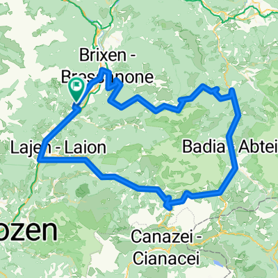

Via Haeselbrunn nach Via Haeselbrunn
- 38.3 km
- 2,358 m
- 2,356 m
- Feldthurns, Trentino-Alto Adige, Italy
A cycling route starting in Feldthurns, Trentino-Alto Adige, Italy.
Overview
Possible tour for Monday (arrival day)
created this 14 years ago
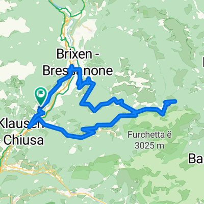
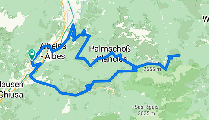
Route quality
Road
46.8 km
(70 %)
Quiet road
6.7 km
(10 %)
Paved
42.1 km
(63 %)
Unpaved
1.3 km
(2 %)
Asphalt
42.1 km
(63 %)
Gravel
1.3 km
(2 %)
Undefined
23.4 km
(35 %)
Continue with Bikemap
You would like to ride Würzjoch - Runde or customize it for your own trip? Here is what you can do with this Bikemap route:
Free trial for 3 days, or one-time payment. More about Bikemap Premium.
Discover more Premium features.
Get Bikemap PremiumFrom our community
Open it in the app