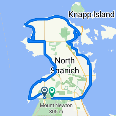
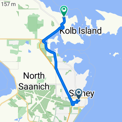
Day 3 of Summer 2008 Tour (Sidney, BC to Ladysmith via Mill Bay)
A cycling route starting in North Saanich, British Columbia, Canada.
Overview
About this route
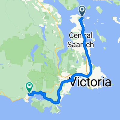
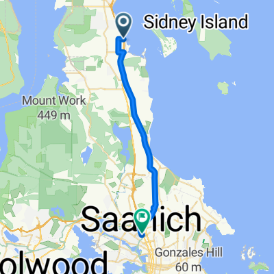
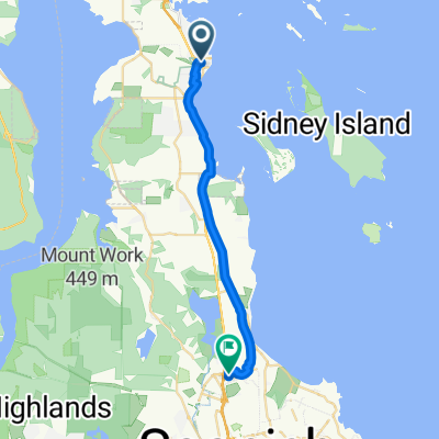
This was day 3 of our summer 2008 tour. We rode from Sidney, BC to Ladysmith skipping the Malahat and taking the Mill Bay farry.
- -:--
- Duration
- 95 km
- Distance
- 610 m
- Ascent
- 571 m
- Descent
- ---
- Avg. speed
- 115 m
- Max. altitude
Route quality
Waytypes & surfaces along the route
Waytypes
Busy road
32.8 km
(35 %)
Cycleway
22.1 km
(23 %)
Surfaces
Paved
70.4 km
(74 %)
Unpaved
2.2 km
(2 %)
Asphalt
53.9 km
(57 %)
Paved (undefined)
16.4 km
(17 %)
Continue with Bikemap
Use, edit, or download this cycling route
You would like to ride Day 3 of Summer 2008 Tour (Sidney, BC to Ladysmith via Mill Bay) or customize it for your own trip? Here is what you can do with this Bikemap route:
Free features
- Save this route as favorite or in collections
- Copy & plan your own version of this route
- Split it into stages to create a multi-day tour
- Sync your route with Garmin or Wahoo
Premium features
Free trial for 3 days, or one-time payment. More about Bikemap Premium.
- Navigate this route on iOS & Android
- Export a GPX / KML file of this route
- Create your custom printout (try it for free)
- Download this route for offline navigation
Discover more Premium features.
Get Bikemap PremiumFrom our community
Other popular routes starting in North Saanich
- Mill Bay Loop
- Distance
- 12.7 km
- Ascent
- 228 m
- Descent
- 230 m
- Location
- North Saanich, British Columbia, Canada
- Day 3 of Summer 2008 Tour (Sidney, BC to Ladysmith via Mill Bay)
- Distance
- 95 km
- Ascent
- 610 m
- Descent
- 571 m
- Location
- North Saanich, British Columbia, Canada
- Ferry to Victoria
- Distance
- 33.4 km
- Ascent
- 122 m
- Descent
- 122 m
- Location
- North Saanich, British Columbia, Canada
- Long ride from (null) to (null)
- Distance
- 30.2 km
- Ascent
- 682 m
- Descent
- 679 m
- Location
- North Saanich, British Columbia, Canada
- Top Of Old Mt Baldy
- Distance
- 22.2 km
- Ascent
- 663 m
- Descent
- 659 m
- Location
- North Saanich, British Columbia, Canada
- North Saanich Excursion
- Distance
- 40.2 km
- Ascent
- 309 m
- Descent
- 309 m
- Location
- North Saanich, British Columbia, Canada
- The Water Tower Is Gone
- Distance
- 17.1 km
- Ascent
- 445 m
- Descent
- 473 m
- Location
- North Saanich, British Columbia, Canada
- Mary Winspear Parking Lot to Ferry Terminal
- Distance
- 5.6 km
- Ascent
- 53 m
- Descent
- 36 m
- Location
- North Saanich, British Columbia, Canada
Open it in the app