Istria
- 285 km
- 2,206 m
- 2,172 m
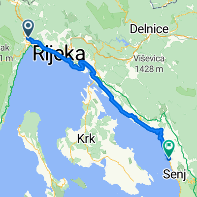
- Matulji, Primorje-Gorski Kotar County, Croatia
A cycling route starting in Matulji, Primorje-Gorski Kotar County, Croatia.
Overview
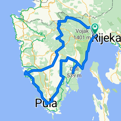
Start at the church in V. Brgud. Ride approximately 200 meters on pavement and then enter a gravel path that lasts for about 2 km. Enter into the town of Zaluki. From Zaluki, ride on pavement to the town of Zvoneće, from where you head towards the town of Šušnji. When you reach the water station at Zdemeru, turn right towards Lisina. After approximately 250 meters, we come to an intersection where we must turn left or continue straight. From Lisine, we ride on gravel towards Žejane. When we reach the main road, we turn right and return towards the town of Zvoneće. In the town, we turn left into the gravel road that will take us back to the path we follow to return to the church in V. Brgud.
created this 14 years ago
Route quality
Track
11.6 km
(55 %)
Quiet road
3.2 km
(15 %)
Paved
7 km
(33 %)
Unpaved
8.5 km
(40 %)
Asphalt
6.8 km
(32 %)
Gravel
5.7 km
(27 %)
Continue with Bikemap
You would like to ride Veli Brgud-srednje teška MTB or customize it for your own trip? Here is what you can do with this Bikemap route:
Free trial for 3 days, or one-time payment. More about Bikemap Premium.
Discover more Premium features.
Get Bikemap PremiumFrom our community
Open it in the app