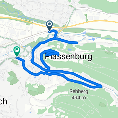
KU Maineck Weismain Stadeln KDorf Zertritt KU
- 71.7 km
- 378 m
- 372 m
- Kulmbach, Bavaria, Germany
A cycling route starting in Kulmbach, Bavaria, Germany.
Overview
From Kulmbach via Untersteinach and Ludwigschorgast up to Kupferberg. Continue on to Marktleugast on the B289 towards Kuppel. From there, head to Wüstenselbitz. Over Hohenberg, Tannenwirtshaus and Gutenberg back to Untersteinach and Kulmbach. The route is 55 kilometers long with an elevation gain of 660 meters.
Continue with Bikemap
You would like to ride Oberlandtour or customize it for your own trip? Here is what you can do with this Bikemap route:
Free trial for 3 days, or one-time payment. More about Bikemap Premium.
Discover more Premium features.
Get Bikemap PremiumFrom our community
Open it in the app