
lindero/san javier
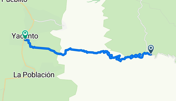
A cycling route starting in Villa de las Rosas, Cordoba Province, Argentina.
Overview
About this route
abandoned car road,
ideal for DH double bikes.
bring: water, patches, tools, and protections for DH.
take into account the time, it is recommended to do it in spring, autumn. in summer, be mindful of the timing. you can reach the entrance by car, but you must return by bus.
dangerous and inaccessible area for rescue teams, it is recommended to carry GPS, mobile phone and not to go alone, or to leave the route indicated.
- -:--
- Duration
- 15.7 km
- Distance
- 48 m
- Ascent
- 1,917 m
- Descent
- ---
- Avg. speed
- ---
- Max. altitude

Continue with Bikemap
Use, edit, or download this cycling route
You would like to ride lindero/san javier or customize it for your own trip? Here is what you can do with this Bikemap route:
Free features
- Save this route as favorite or in collections
- Copy & plan your own version of this route
- Sync your route with Garmin or Wahoo
Premium features
Free trial for 3 days, or one-time payment. More about Bikemap Premium.
- Navigate this route on iOS & Android
- Export a GPX / KML file of this route
- Create your custom printout (try it for free)
- Download this route for offline navigation
Discover more Premium features.
Get Bikemap PremiumFrom our community
Other popular routes starting in Villa de las Rosas
 Tesarai a la despensa Traslasierras, Las Calles,Córdoba ,Argentina
- Distance
- 3.1 km
- Ascent
- 22 m
- Descent
- 34 m
- Location
- Villa de las Rosas, Cordoba Province, Argentina
 San javier - Merlo y regreso
- Distance
- 41.9 km
- Ascent
- 357 m
- Descent
- 329 m
- Location
- Villa de las Rosas, Cordoba Province, Argentina
 lindero/san javier
- Distance
- 15.7 km
- Ascent
- 48 m
- Descent
- 1,917 m
- Location
- Villa de las Rosas, Cordoba Province, Argentina
 Cerro Los Linderos - Santa Rosa de Calamuchita
- Distance
- 67.2 km
- Ascent
- 203 m
- Descent
- 2,337 m
- Location
- Villa de las Rosas, Cordoba Province, Argentina
 A la ceremonia
- Distance
- 149.1 km
- Ascent
- 412 m
- Descent
- 352 m
- Location
- Villa de las Rosas, Cordoba Province, Argentina
 Cerro Los Linderos-Santa Rosa de Calamuchita
- Distance
- 67.4 km
- Ascent
- 179 m
- Descent
- 2,308 m
- Location
- Villa de las Rosas, Cordoba Province, Argentina
 lindero/san javier
- Distance
- 15.7 km
- Ascent
- 27 m
- Descent
- 1,893 m
- Location
- Villa de las Rosas, Cordoba Province, Argentina
 las tapias - rio tercero
- Distance
- 194.5 km
- Ascent
- 2,119 m
- Descent
- 2,371 m
- Location
- Villa de las Rosas, Cordoba Province, Argentina
Open it in the app