Altglienicke-Gosen-Müggelheim
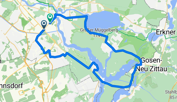
A cycling route starting in Adlershof, State of Berlin, Germany.
Overview
About this route
- -:--
- Duration
- 35.4 km
- Distance
- 119 m
- Ascent
- 116 m
- Descent
- ---
- Avg. speed
- 55 m
- Max. altitude
Route quality
Waytypes & surfaces along the route
Waytypes
Quiet road
8.5 km
(24 %)
Busy road
7.5 km
(21 %)
Surfaces
Paved
33.3 km
(94 %)
Unpaved
1.4 km
(4 %)
Asphalt
27.8 km
(78 %)
Paving stones
4 km
(11 %)
Continue with Bikemap
Use, edit, or download this cycling route
You would like to ride Altglienicke-Gosen-Müggelheim or customize it for your own trip? Here is what you can do with this Bikemap route:
Free features
- Save this route as favorite or in collections
- Copy & plan your own version of this route
- Sync your route with Garmin or Wahoo
Premium features
Free trial for 3 days, or one-time payment. More about Bikemap Premium.
- Navigate this route on iOS & Android
- Export a GPX / KML file of this route
- Create your custom printout (try it for free)
- Download this route for offline navigation
Discover more Premium features.
Get Bikemap PremiumFrom our community
Other popular routes starting in Adlershof
- Vierte Etappe des Mauerwegs (Adlershof-Teltow)
- Distance
- 35 km
- Ascent
- 85 m
- Descent
- 80 m
- Location
- Adlershof, State of Berlin, Germany
- Altglienicke-Wernsdorf-Burig-Erkner
- Distance
- 50.1 km
- Ascent
- 167 m
- Descent
- 166 m
- Location
- Adlershof, State of Berlin, Germany
- Grünau-Neu Zittau-Erkner
- Distance
- 39.5 km
- Ascent
- 104 m
- Descent
- 101 m
- Location
- Adlershof, State of Berlin, Germany
- Adlershof - Teupitz - Märk-Buchholz - Fürstenwalde
- Distance
- 120.9 km
- Ascent
- 225 m
- Descent
- 218 m
- Location
- Adlershof, State of Berlin, Germany
- Hausrunde Süd
- Distance
- 80.4 km
- Ascent
- 105 m
- Descent
- 103 m
- Location
- Adlershof, State of Berlin, Germany
- Altglienicke-Gosen-Müggelheim
- Distance
- 35.4 km
- Ascent
- 119 m
- Descent
- 116 m
- Location
- Adlershof, State of Berlin, Germany
- Adlershof-Erkner-Adlershof
- Distance
- 40.9 km
- Ascent
- 105 m
- Descent
- 106 m
- Location
- Adlershof, State of Berlin, Germany
- Geile Strecke
- Distance
- 73.3 km
- Ascent
- 106 m
- Descent
- 106 m
- Location
- Adlershof, State of Berlin, Germany
Open it in the app