

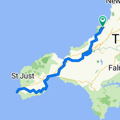
st austell
A cycling route starting in Saint Agnes, England, United Kingdom.
Overview
About this route
- 5 h 25 min
- Duration
- 99.8 km
- Distance
- 1,621 m
- Ascent
- 1,622 m
- Descent
- 18.4 km/h
- Avg. speed
- ---
- Max. altitude
Route quality
Waytypes & surfaces along the route
Waytypes
Quiet road
27.9 km
(28 %)
Cycleway
16 km
(16 %)
Surfaces
Paved
72.8 km
(73 %)
Unpaved
1 km
(1 %)
Asphalt
72.8 km
(73 %)
Ground
1 km
(1 %)
Undefined
25.9 km
(26 %)
Continue with Bikemap
Use, edit, or download this cycling route
You would like to ride st austell or customize it for your own trip? Here is what you can do with this Bikemap route:
Free features
- Save this route as favorite or in collections
- Copy & plan your own version of this route
- Split it into stages to create a multi-day tour
- Sync your route with Garmin or Wahoo
Premium features
Free trial for 3 days, or one-time payment. More about Bikemap Premium.
- Navigate this route on iOS & Android
- Export a GPX / KML file of this route
- Create your custom printout (try it for free)
- Download this route for offline navigation
Discover more Premium features.
Get Bikemap PremiumFrom our community
Other popular routes starting in Saint Agnes
 Sunday morning to Redruth station
- Distance
- 5.9 km
- Ascent
- 123 m
- Descent
- 98 m
- Location
- Saint Agnes, England, United Kingdom
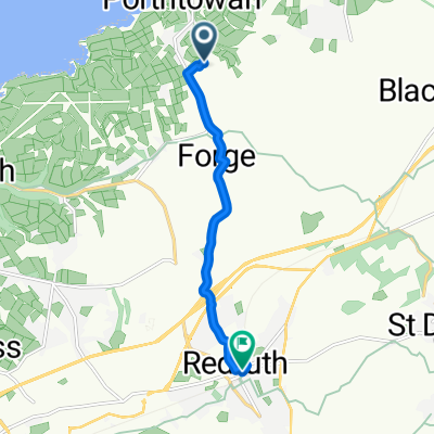
 1 Peterville, St Agnes to North Cliffs, Portreath, Redruth
- Distance
- 12.8 km
- Ascent
- 290 m
- Descent
- 282 m
- Location
- Saint Agnes, England, United Kingdom
 Porthtowan quick loop
- Distance
- 13.5 km
- Ascent
- 209 m
- Descent
- 224 m
- Location
- Saint Agnes, England, United Kingdom
 St Agnes - Marazion - Lands End - St Agnes
- Distance
- 136.6 km
- Ascent
- 1,494 m
- Descent
- 1,494 m
- Location
- Saint Agnes, England, United Kingdom
 St Agnes, St Agnes to Cornish Cottage, Churchtown, Wadebridge
- Distance
- 40.6 km
- Ascent
- 637 m
- Descent
- 670 m
- Location
- Saint Agnes, England, United Kingdom
 St Agnes - Holywell
- Distance
- 39 km
- Ascent
- 509 m
- Descent
- 510 m
- Location
- Saint Agnes, England, United Kingdom
 LEJoG May/June 2010 - Day 2
- Distance
- 64.1 km
- Ascent
- 883 m
- Descent
- 799 m
- Location
- Saint Agnes, England, United Kingdom
 7 Wheal Kitty, St Agnes to 9–99 Wainsway, Perranzabuloe, Perranporth
- Distance
- 6.5 km
- Ascent
- 83 m
- Descent
- 157 m
- Location
- Saint Agnes, England, United Kingdom
Open it in the app