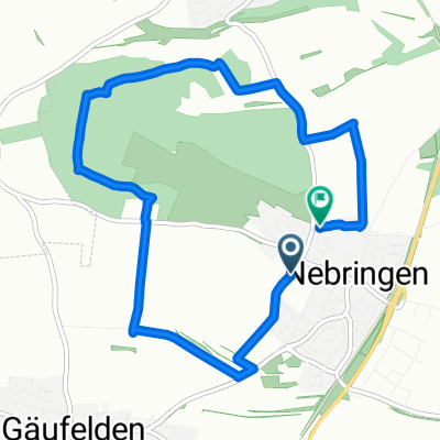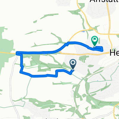
Cottbuser Straße, Herrenberg nach Tannenstraße, Herrenberg
- 4.7 km
- 109 m
- 102 m
- Herrenberg, Baden-Wurttemberg, Germany
A cycling route starting in Herrenberg, Baden-Wurttemberg, Germany.
Overview
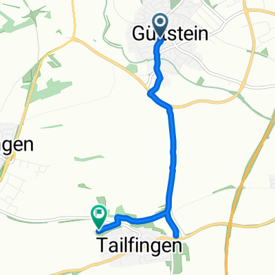
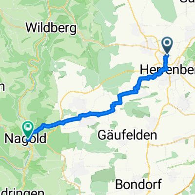
Family tour through the Gäu: Herrenberg - Stadthalle (parking) Station Hbg. School center Längenholz through the underpass Residential streets from the end of the village agricultural paths along the "Ammer" Ammermühlen to Gültstein continue along the Ammer to Altingen in Altingen left through the village to the railway line, then right on agricultural paths to Reusten there through the settlement above the village to the glider airfield Poltringen (Rest opportunity) continue towards Poltringen next agricultural path left to Ammerbuch-Entringen cross B 28 and right on the cycle path to Breitenholz (wine taverns) out of the village towards Herrenberg - before B28 right on agricultural path to Kayh - continue on the main road to Mönchberg before B28 on agricultural path right either through the valley (keep right) or along the federal road to Herrenberg through the city center to Stadthalle
created this 17 years ago
Continue with Bikemap
You would like to ride Familientour durch´s Gäu or customize it for your own trip? Here is what you can do with this Bikemap route:
Free trial for 3 days, or one-time payment. More about Bikemap Premium.
Discover more Premium features.
Get Bikemap PremiumFrom our community
Open it in the app