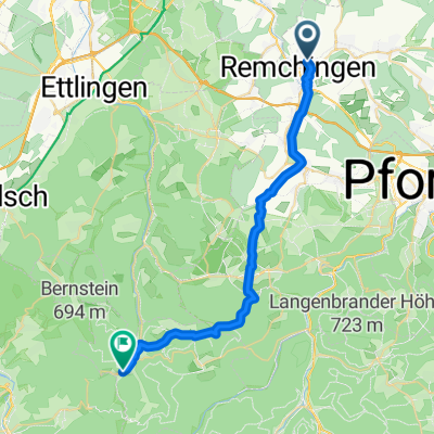
Falkenstraße, Remchingen nach Gernsbacher Straße, Bad Herrenalb
- 28 km
- 683 m
- 455 m
- Königsbach-Stein, Baden-Wurttemberg, Germany
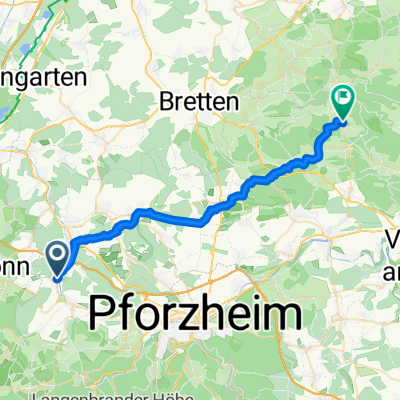
A cycling route starting in Königsbach-Stein, Baden-Wurttemberg, Germany.
Overview
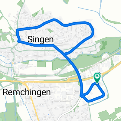
A beautiful evening ride, which is completely atypical for a road bike, paved through the forest from Gaistal to Dobel. The max. gradient here is 24% between the upper and lower Gaistal.
created this 17 years ago
Continue with Bikemap
You would like to ride Übers Gaistal zum Dobel or customize it for your own trip? Here is what you can do with this Bikemap route:
Free trial for 3 days, or one-time payment. More about Bikemap Premium.
Discover more Premium features.
Get Bikemap PremiumFrom our community
Open it in the app