

Pic des Trois Dents
A cycling route starting in Chavanay, Auvergne-Rhône-Alpes, France.
Overview
About this route
- -:--
- Duration
- 42.8 km
- Distance
- 1,206 m
- Ascent
- 1,209 m
- Descent
- ---
- Avg. speed
- ---
- Max. altitude
Route highlights
Points of interest along the route
Point of interest after 17.2 km
Panorama de Dentillon
Point of interest after 18.8 km
Pic des Trois Dents
Point of interest after 19.2 km
Col du Grand Gouret 1164m
Point of interest after 20 km
Col du Gratteau
Point of interest after 20.6 km
Col de l'Oeillon
Point of interest after 21.6 km
Collet de l'Oeillon 1318m
Point of interest after 22 km
Crêt de l'Oeillon
Point of interest after 26 km
Collet Royet 1050m
Point of interest after 34.3 km
Route vers Bassin
Continue with Bikemap
Use, edit, or download this cycling route
You would like to ride Pic des Trois Dents or customize it for your own trip? Here is what you can do with this Bikemap route:
Free features
- Save this route as favorite or in collections
- Copy & plan your own version of this route
- Sync your route with Garmin or Wahoo
Premium features
Free trial for 3 days, or one-time payment. More about Bikemap Premium.
- Navigate this route on iOS & Android
- Export a GPX / KML file of this route
- Create your custom printout (try it for free)
- Download this route for offline navigation
Discover more Premium features.
Get Bikemap PremiumFrom our community
Other popular routes starting in Chavanay
 CRÊT de L'OEILLON, por Chavanay
- Distance
- 20.9 km
- Ascent
- 1,223 m
- Descent
- 49 m
- Location
- Chavanay, Auvergne-Rhône-Alpes, France
 JE10: Chavanay, Bourgeois Argental, Le Puy
- Distance
- 118 km
- Ascent
- 1,702 m
- Descent
- 1,270 m
- Location
- Chavanay, Auvergne-Rhône-Alpes, France
 ViaRhona
- Distance
- 84.9 km
- Ascent
- 72 m
- Descent
- 223 m
- Location
- Chavanay, Auvergne-Rhône-Alpes, France
 Oeillon/Republique/Charousse
- Distance
- 167.3 km
- Ascent
- 2,861 m
- Descent
- 2,864 m
- Location
- Chavanay, Auvergne-Rhône-Alpes, France
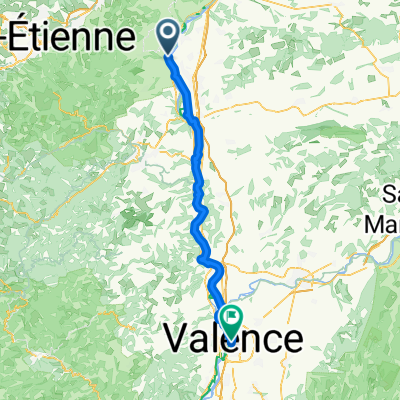 Chavanay - Valence
- Distance
- 68.8 km
- Ascent
- 161 m
- Descent
- 197 m
- Location
- Chavanay, Auvergne-Rhône-Alpes, France
 6 Avenue du Rhône, Chavanay to Avenue du Rhône, Saint-Pierre-de-Bœuf
- Distance
- 5.8 km
- Ascent
- 6 m
- Descent
- 6 m
- Location
- Chavanay, Auvergne-Rhône-Alpes, France
 Via Rhona: 2ème Etappe Chavanay à Tournon
- Distance
- 51.1 km
- Ascent
- 39 m
- Descent
- 77 m
- Location
- Chavanay, Auvergne-Rhône-Alpes, France
 Chavanay, Pellusin, col de l'Oeillon, Malleval
- Distance
- 50.7 km
- Ascent
- 1,093 m
- Descent
- 1,091 m
- Location
- Chavanay, Auvergne-Rhône-Alpes, France
Open it in the app