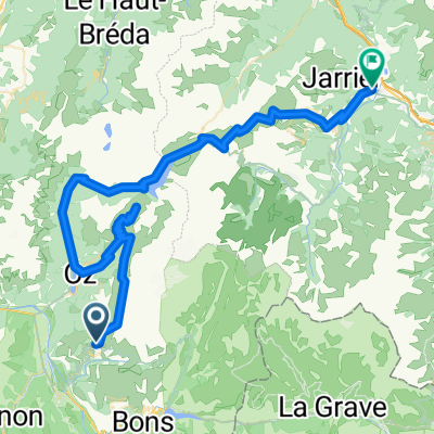
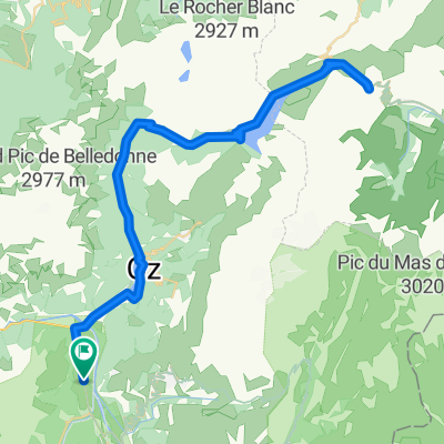
Mein La Marmotte 2010
A cycling route starting in Huez, Auvergne-Rh么ne-Alpes, France.
Overview
About this route
Auf den Spuren der Toru de France. Col du Gladon - Col du Galibier - Alpe D'Huez.
Ein wenig h眉gelig ist es:) Spa脽 bei seite, ein wenig Trainig vorher muss sein.
- -:--
- Duration
- 173.8 km
- Distance
- 4,517 m
- Ascent
- 3,432 m
- Descent
- ---
- Avg. speed
- ---
- Avg. speed
Route quality
Waytypes & surfaces along the route
Waytypes
Busy road
161.7 km
(93 %)
Quiet road
5.3 km
(3 %)
Surfaces
Paved
125.7 km
(72 %)
Unpaved
0.1 km
(<1 %)
Asphalt
125.7 km
(72 %)
Gravel
0.1 km
(<1 %)
Undefined
48 km
(28 %)
Continue with Bikemap
Use, edit, or download this cycling route
You would like to ride Mein La Marmotte 2010 or customize it for your own trip? Here is what you can do with this Bikemap route:
Free features
- Save this route as favorite or in collections
- Copy & plan your own version of this route
- Split it into stages to create a multi-day tour
- Sync your route with Garmin or Wahoo
Premium features
Free trial for 3 days, or one-time payment. More about Bikemap Premium.
- Navigate this route on iOS & Android
- Export a GPX / KML file of this route
- Create your custom printout (try it for free)
- Download this route for offline navigation
Discover more Premium features.
Get Bikemap PremiumFrom our community
Other popular routes starting in Huez
- Mein La Marmotte 2010
- Distance
- 173.8 km
- Ascent
- 4,517 m
- Descent
- 3,432 m
- Location
- Huez, Auvergne-Rh么ne-Alpes, France
- Classic Climbs - Day 1b - Col Du Galibier
- Distance
- 47.2 km
- Ascent
- 2,437 m
- Descent
- 550 m
- Location
- Huez, Auvergne-Rh么ne-Alpes, France
- Glandon - Croix de Fer
- Distance
- 65.5 km
- Ascent
- 1,611 m
- Descent
- 1,611 m
- Location
- Huez, Auvergne-Rh么ne-Alpes, France
- Tour Alp Huez dia 2
- Distance
- 79 km
- Ascent
- 2,724 m
- Descent
- 2,722 m
- Location
- Huez, Auvergne-Rh么ne-Alpes, France
- L'Alpe d'Huez
- Distance
- 60.3 km
- Ascent
- 1,850 m
- Descent
- 1,850 m
- Location
- Huez, Auvergne-Rh么ne-Alpes, France
- L'Alpe-d-Huez
- Distance
- 12.9 km
- Ascent
- 1,222 m
- Descent
- 94 m
- Location
- Huez, Auvergne-Rh么ne-Alpes, France
- Bourg d'Oisans - Bourg d'Oisans
- Distance
- 159.7 km
- Ascent
- 4,577 m
- Descent
- 3,464 m
- Location
- Huez, Auvergne-Rh么ne-Alpes, France
- Alpe d-Huez boucle
- Distance
- 48.9 km
- Ascent
- 1,639 m
- Descent
- 1,714 m
- Location
- Huez, Auvergne-Rh么ne-Alpes, France
Open it in the app