

Schöne Runde aber nicht im Winter.
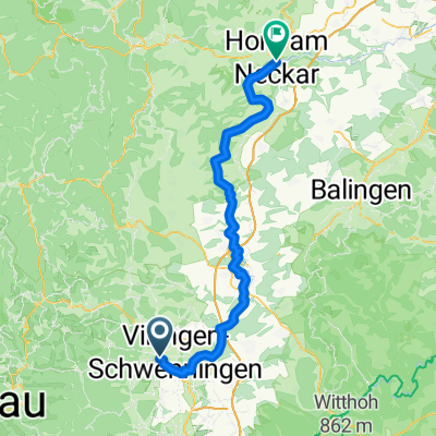
A cycling route starting in Villingen-Schwenningen, Baden-Wurttemberg, Germany.
Overview
About this route
- 2 h 31 min
- Duration
- 43.4 km
- Distance
- 703 m
- Ascent
- 695 m
- Descent
- 17.3 km/h
- Avg. speed
- ---
- Max. altitude

Route photos


Route quality
Waytypes & surfaces along the route
Waytypes
Quiet road
23.9 km
(55 %)
Road
10 km
(23 %)
Surfaces
Paved
35.1 km
(81 %)
Unpaved
4.8 km
(11 %)
Asphalt
29.1 km
(67 %)
Paved (undefined)
6.1 km
(14 %)
Continue with Bikemap
Use, edit, or download this cycling route
You would like to ride Schöne Runde aber nicht im Winter. or customize it for your own trip? Here is what you can do with this Bikemap route:
Free features
- Save this route as favorite or in collections
- Copy & plan your own version of this route
- Sync your route with Garmin or Wahoo
Premium features
Free trial for 3 days, or one-time payment. More about Bikemap Premium.
- Navigate this route on iOS & Android
- Export a GPX / KML file of this route
- Create your custom printout (try it for free)
- Download this route for offline navigation
Discover more Premium features.
Get Bikemap PremiumFrom our community
Other popular routes starting in Villingen-Schwenningen
 Ausflug in den Schwarzwald
- Distance
- 63.7 km
- Ascent
- 787 m
- Descent
- 786 m
- Location
- Villingen-Schwenningen, Baden-Wurttemberg, Germany
 Schöne Runde
- Distance
- 55.7 km
- Ascent
- 993 m
- Descent
- 992 m
- Location
- Villingen-Schwenningen, Baden-Wurttemberg, Germany
 Nette, entspannte Fahrradtour
- Distance
- 21.4 km
- Ascent
- 276 m
- Descent
- 276 m
- Location
- Villingen-Schwenningen, Baden-Wurttemberg, Germany
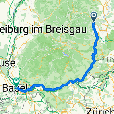 Bräunlingen nach Maulbeerstrasse, Basel
- Distance
- 140.1 km
- Ascent
- 1,218 m
- Descent
- 1,662 m
- Location
- Villingen-Schwenningen, Baden-Wurttemberg, Germany
 Neckartal-Radweg
- Distance
- 376.9 km
- Ascent
- 4,160 m
- Descent
- 4,771 m
- Location
- Villingen-Schwenningen, Baden-Wurttemberg, Germany
 Villingen - Balingen
- Distance
- 51.9 km
- Ascent
- 527 m
- Descent
- 720 m
- Location
- Villingen-Schwenningen, Baden-Wurttemberg, Germany
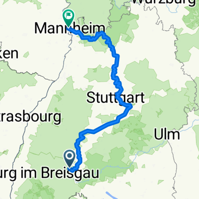
 2017_03_27 Neckartalweg - Tag 1 - Villingen - Horb
- Distance
- 86.8 km
- Ascent
- 1,288 m
- Descent
- 1,576 m
- Location
- Villingen-Schwenningen, Baden-Wurttemberg, Germany
 Villingen-Schwenningen - Horb am Neckar
- Distance
- 75.8 km
- Ascent
- 1,104 m
- Descent
- 1,416 m
- Location
- Villingen-Schwenningen, Baden-Wurttemberg, Germany
Open it in the app