DA Charity Etape 2011 Day 1
- 149.1 km
- 2,371 m
- 1,856 m
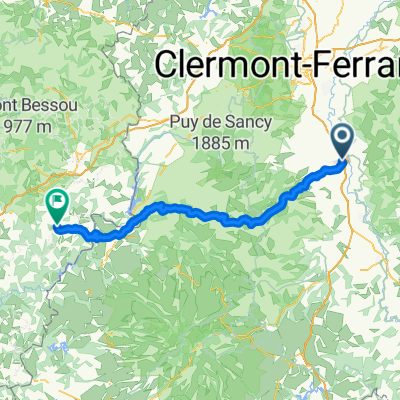
- Issoire, Auvergne-Rhône-Alpes, France
A cycling route starting in Issoire, Auvergne-Rhône-Alpes, France.
Overview
29.5 - BW 1 - Cote d'Auzelles - 805m - K4 (2.7km at 4.3%)
58.5 - BW 2 - Cote du Trevy - 855m - K3 (5.4km at 5.0%)
65.0 - Sprint - Col du Pertuis
75.7 - BW 3 - Col des Sagnes - 828m - K3 (4.6km at 4.4%)
87.0 - BW 4 - Col de la Charme - 1106m - K2 (6.4km at 7.4%)
108.5 - BW 5 - Col de la Loge des Gardes - 1077m - K2 (6.8km at 7.1%)
Route quality
Road
36.3 km
(26 %)
Quiet road
11.2 km
(8 %)
Paved
118.7 km
(85 %)
Asphalt
118.7 km
(85 %)
Undefined
20.9 km
(15 %)
Continue with Bikemap
You would like to ride TDF 13. Etappe Issoire - Roanne or customize it for your own trip? Here is what you can do with this Bikemap route:
Free trial for 3 days, or one-time payment. More about Bikemap Premium.
Discover more Premium features.
Get Bikemap PremiumFrom our community
Open it in the app