J3A REC2MIPIM 2018
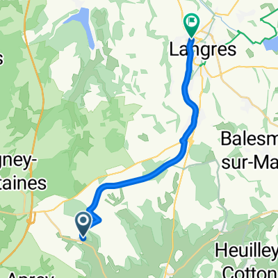
- 58.1 km
- 158 m
- 385 m
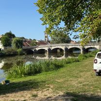
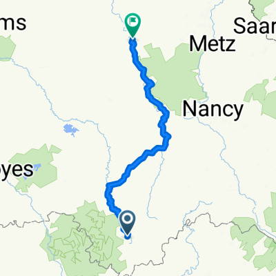
- Langres, Grand Est, France
A cycling route starting in Langres, Grand Est, France.
Overview
Already seen in part, and not exciting: put a TER between Dole and Bourg?
created this 4 years ago
Route quality
Road
108.6 km
(43 %)
Track
48 km
(19 %)
Paved
144 km
(57 %)
Unpaved
2.5 km
(1 %)
Asphalt
136.4 km
(54 %)
Paved (undefined)
7.6 km
(3 %)
Continue with Bikemap
You would like to ride Langres - Chevillard (3j) or customize it for your own trip? Here is what you can do with this Bikemap route:
Free trial for 3 days, or one-time payment. More about Bikemap Premium.
Discover more Premium features.
Get Bikemap PremiumFrom our community
Open it in the app