vegas - palm springs
- 664.4 km
- 6,230 m
- 6,889 m
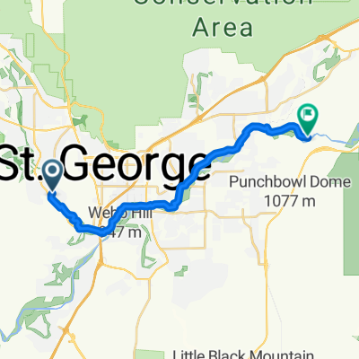
- St. George, Utah, United States
A cycling route starting in St. George, Utah, United States.
Overview
created this 14 years ago
Route quality
Quiet road
15.6 km
(23 %)
Cycleway
10.8 km
(16 %)
Paved
57.6 km
(85 %)
Asphalt
56.9 km
(84 %)
Concrete
0.7 km
(1 %)
Undefined
10.2 km
(15 %)
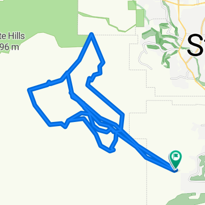
Route highlights
Red Cliffs recreational area 8 dollar
Grafton Mormon ghost town
Continue with Bikemap
You would like to ride Dag 017 St. George - Zion or customize it for your own trip? Here is what you can do with this Bikemap route:
Free trial for 3 days, or one-time payment. More about Bikemap Premium.
Discover more Premium features.
Get Bikemap PremiumFrom our community
Open it in the app