Ride To Scotties
A cycling route starting in Surrey Hills, Victoria, Australia.
Overview
About this route
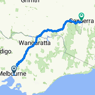
Ride to Scotts via rail and Mullum Mullum creek trail
- -:--
- Duration
- 20.7 km
- Distance
- 207 m
- Ascent
- 178 m
- Descent
- ---
- Avg. speed
- ---
- Max. altitude
Route quality
Waytypes & surfaces along the route
Waytypes
Quiet road
6.8 km
(33 %)
Cycleway
6.6 km
(32 %)
Surfaces
Paved
17.7 km
(85 %)
Unpaved
0.5 km
(2 %)
Asphalt
10.7 km
(52 %)
Paved (undefined)
3.5 km
(17 %)
Continue with Bikemap
Use, edit, or download this cycling route
You would like to ride Ride To Scotties or customize it for your own trip? Here is what you can do with this Bikemap route:
Free features
- Save this route as favorite or in collections
- Copy & plan your own version of this route
- Sync your route with Garmin or Wahoo
Premium features
Free trial for 3 days, or one-time payment. More about Bikemap Premium.
- Navigate this route on iOS & Android
- Export a GPX / KML file of this route
- Create your custom printout (try it for free)
- Download this route for offline navigation
Discover more Premium features.
Get Bikemap PremiumFrom our community
Other popular routes starting in Surrey Hills
- 5 Montrose Street, Surrey Hills to 5 Montrose Street, Surrey Hills
- Distance
- 22.9 km
- Ascent
- 172 m
- Descent
- 172 m
- Location
- Surrey Hills, Victoria, Australia
- Office 2
- Distance
- 22 km
- Ascent
- 104 m
- Descent
- 183 m
- Location
- Surrey Hills, Victoria, Australia
- Morning Commute
- Distance
- 5.2 km
- Ascent
- 92 m
- Descent
- 118 m
- Location
- Surrey Hills, Victoria, Australia
- Ride To Scotties
- Distance
- 20.7 km
- Ascent
- 207 m
- Descent
- 178 m
- Location
- Surrey Hills, Victoria, Australia
- Work Short Route
- Distance
- 15.3 km
- Ascent
- 83 m
- Descent
- 163 m
- Location
- Surrey Hills, Victoria, Australia
- Short Route Work
- Distance
- 15.2 km
- Ascent
- 83 m
- Descent
- 163 m
- Location
- Surrey Hills, Victoria, Australia
- Alfred Hospital
- Distance
- 50.2 km
- Ascent
- 396 m
- Descent
- 413 m
- Location
- Surrey Hills, Victoria, Australia
- 155 Union Rd, Surrey Hills to 47 Peter St, Box Hill North
- Distance
- 4.5 km
- Ascent
- 39 m
- Descent
- 71 m
- Location
- Surrey Hills, Victoria, Australia
Open it in the app